|
search place name
|
||
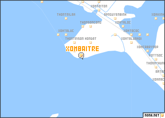
Xóm Bãi Tre (Kiến Giang, Vietnam)Xóm Bãi Tre is a town in the Kiến Giang region of Vietnam. An overview map of the region around Xóm Bãi Tre is displayed below.
regional and 3d topo map of Xóm Bãi Tre, Vietnam ::
Xóm Bãi Tre airports ::
The nearest airport is PNH - Phnom-penh Phnom Penh Intl, located 162.0 km north of Xóm Bãi Tre.
Other airports nearby include SGN - Ho Chi Minh City Tansonnhat Intl (208.3 km north east), Nearby towns ::
Xóm Tà Mọt (2.6km north west) //
Xóm Cây Me (2.6km north west) //
Hòn Ðất (4.1km north east) //
Thôn Tri Sơn (4.1km north west) //
Xóm Tà Lức (6.7km north west) //
Ấp Hòn Sóc (7.4km north) //
Thôn Sơn Công (7.6km north) //
Thôn Tri Quỳnh (7.8km north west) //
Xóm Mường Kinh (9.2km north east) //
[all distances 'as the bird flies' and approximate] 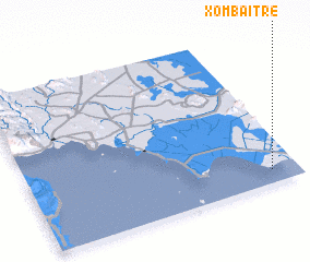 Places with similar names to Xóm Bãi Tre, Vietnam ::
Disclaimer :: Information on this page comes without warranty of any kind |
||
|
Where is Xóm Bãi Tre? Elevation and coordinates ::
Latitude (lat): 10°5'0"N Longitude (lon): 104°54'0"E
Elevation (approx.): -32768m (map arrows pan, magnifying glasses zoom) |
||
|
Visiting Xóm Bãi Tre? Hotel/Accommodation ::
Book a hotel in Xóm Bãi Tre Travel Guide ::
Buy a travel guide for Vietnam rental cars ::
car rental offers GPS waypoint ::
download a GPX waypoint (PoI) of Xóm Bãi Tre for your GPS receiver
|
||