|
search place name
|
||
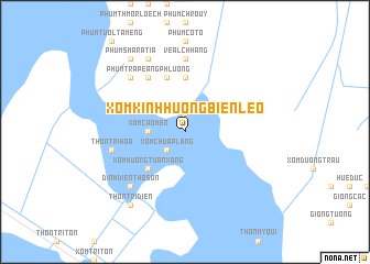
Xóm Kinh Hương Biền Lẹo (Kiến Giang, Vietnam)Xóm Kinh Hương Biền Lẹo is a town in the Kiến Giang region of Vietnam. An overview map of the region around Xóm Kinh Hương Biền Lẹo is displayed below.
regional and 3d topo map of Xóm Kinh Hương Biền Lẹo, Vietnam ::
Xóm Kinh Hương Biền Lẹo airports ::
The nearest airport is PNH - Phnom-penh Phnom Penh Intl, located 139.2 km north of Xóm Kinh Hương Biền Lẹo.
Other airports nearby include SGN - Ho Chi Minh City Tansonnhat Intl (187.9 km east), Nearby towns ::
Xóm Khám Ðạt (1.9km north) //
Xóm Chủ Ấp Lang (2.6km south west) //
Xóm Cao Mên (3.6km west) //
Xóm Hương Tuần Xáng (5.2km south west) //
Cô Tô (5.6km north) //
Phum Tampo (5.9km north) //
Phum Trapéang Phluông (6.6km north west) //
Phum Tapô (6.6km north west) //
Phum Penpei (6.6km north west) //
Veal Chhang (7.4km north) //
Thôn Tri Hòa (7.5km west) //
Phum Oc Yùm (7.8km north west) //
Dinh Ðiền Thồ Sơn (7.8km south west) //
Phum Sacor (8.3km north west) //
Phum Smar Atiá (9.2km north west) //
Thôn Tri Ðiền (9.2km south west) //
[all distances 'as the bird flies' and approximate] 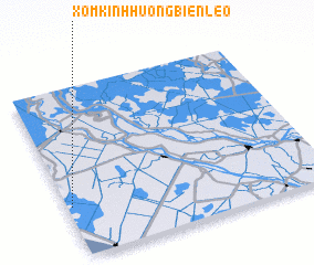 Places with similar names to Xóm Kinh Hương Biền Lẹo, Vietnam :: Disclaimer :: Information on this page comes without warranty of any kind |
||
|
Where is Xóm Kinh Hương Biền Lẹo? Elevation and coordinates ::
Latitude (lat): 10°18'0"N Longitude (lon): 105°1'0"E
Elevation (approx.): 2m (map arrows pan, magnifying glasses zoom) |
||
|
Visiting Xóm Kinh Hương Biền Lẹo? Hotel/Accommodation ::
Book a hotel in Xóm Kinh Hương Biền Lẹo Travel Guide ::
Buy a travel guide for Vietnam rental cars ::
car rental offers GPS waypoint ::
download a GPX waypoint (PoI) of Xóm Kinh Hương Biền Lẹo for your GPS receiver
|
||