|
search place name
|
||
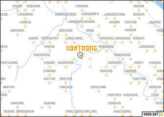
Xóm Trong (Vietnam)Xóm Trong is a town in Vietnam. An overview map of the region around Xóm Trong is displayed below.
regional and 3d topo map of Xóm Trong, Vietnam ::
Xóm Trong airports ::
The nearest airport is HAN - Hanoi Noibai Intl, located 136.2 km south east of Xóm Trong.
Nearby towns ::
Ngọn Ðông (1.7km east) //
Ðại Phác (1.7km west) //
Khê Giưa (2.5km south east) //
Khê Hop (2.5km north east) //
Dá Mài (3.9km north east) //
Xuân Giang (3.9km south west) //
Làng Chang (4.1km north west) //
Làng Nhơn (5.1km north west) //
Ðại Bục (5.1km north west) //
Mậu A (5.8km north) //
Ngòi Viễn (5.5km east) //
Phố Chang (5.5km east) //
Làng Minh (6.5km north east) //
Ðôn Giáo (6.4km south east) //
Sóm Cheo (6.5km north west) //
Xóm Thip (6.5km south west) //
Yên Giúng (6.4km north east) //
Làng Quạch Ngoài (7.4km north) //
Xóm Ðồng (7.1km east) //
Khê Bốc (7.1km west) //
Khê Kie (7.1km west) //
Khê Ha (7.6km north west) //
Dong Thập (8.2km south east) //
Thách Cá (8.2km south west) //
Ngòi Chạng (7.8km north east) //
Chà Khui (7.8km south west) //
Khê Lao (8.2km north east) //
Tong Huyên (7.8km north west) //
Vực Tổn (8.8km south west) //
[all distances 'as the bird flies' and approximate] 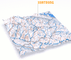 Places with similar names to Xóm Trong, Vietnam ::
Disclaimer :: Information on this page comes without warranty of any kind |
||
|
Where is Xóm Trong? Elevation and coordinates ::
Latitude (lat): 21°50'0"N Longitude (lon): 104°40'0"E
Elevation (approx.): 59m (map arrows pan, magnifying glasses zoom) |
||
|
Visiting Xóm Trong? Hotel/Accommodation ::
Book a hotel in Xóm Trong Travel Guide ::
Buy a travel guide for Vietnam rental cars ::
car rental offers GPS waypoint ::
download a GPX waypoint (PoI) of Xóm Trong for your GPS receiver
|
||