|
search place name
|
||
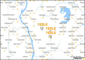
Yên Lễ (Vietnam)Yên Lễ is a town in Vietnam. An overview map of the region around Yên Lễ is displayed below.
regional and 3d topo map of Yên Lễ, Vietnam ::
Yên Lễ airports ::
The nearest airport is HAN - Hanoi Noibai Intl, located 50.4 km north east of Yên Lễ.
Nearby towns ::
Cha Hương (3.5km east) //
Xóm Gốc Bop (3.9km north west) //
Dôi Thông (3.9km south west) //
Yên Lệ (3.9km south east) //
Nôi Sim (5.1km south west) //
Xóm Sui (5.1km north west) //
Yên Lệ (5.1km south east) //
Ðồng Tói (5.2km east) //
Xóm Mán (5.6km north) //
Chùa Yên (5.8km south) //
Mại Thôn (5.8km south) //
Xóm Lát (5.5km east) //
Lac Song (5.5km west) //
Thúy Cổ (5.5km west) //
Xóm Trông (6.4km north east) //
Gô Chau (6.4km south west) //
Xóm Mông (6.5km north east) //
Ðồng Bài (6.9km west) //
Làng Tu Vũ (7.2km west) //
Chó Chẹ (7.2km west) //
Xóm Gò (7.2km west) //
Quang Riệu (7.2km east) //
Yên Bài (7.6km north east) //
Mán Ba Ðằng (7.6km north west) //
Xóm Mối (7.6km north east) //
Lương Sơn (7.9km south west) //
Man Xuôi Hai (8.2km north west) //
Suối Nganh (8.2km south east) //
Vân Mộng (8.2km north east) //
[all distances 'as the bird flies' and approximate] 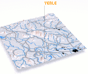 Places with similar names to Yên Lễ, Vietnam ::
Disclaimer :: Information on this page comes without warranty of any kind |
||
|
Where is Yên Lễ? Elevation and coordinates ::
Latitude (lat): 21°0'0"N Longitude (lon): 105°23'0"E
Elevation (approx.): 99m (map arrows pan, magnifying glasses zoom) |
||
|
Visiting Yên Lễ? Hotel/Accommodation ::
Book a hotel in Yên Lễ Travel Guide ::
Buy a travel guide for Vietnam rental cars ::
car rental offers GPS waypoint ::
download a GPX waypoint (PoI) of Yên Lễ for your GPS receiver
|
||