|
search place name
|
||
Yên Lưu (Vietnam)Yên Lưu is a town in Vietnam. An overview map of the region around Yên Lưu is displayed below.
regional and 3d topo map of Yên Lưu, Vietnam ::

Yên Lưu airports ::
The nearest airport is SNO - Sakon Nakhon, located 234.9 km south west of Yên Lưu.
Nearby towns ::
Ðức Mỹ (1.9km north) //
Trung Lộc (1.9km south) //
Yên Dung (1) (1.8km west) //
Xóm Cư Phú (2.6km north east) //
Khai Mông (2.6km south east) //
Tả Ao (2.6km south east) //
Yên Ðũng Thương (2.6km north west) //
Lóc Ða (2.6km north west) //
Yèn Ðung Hạ (2.6km south west) //
Bến Thủy (2.6km south west) //
Cẩm Mỹ (3.5km east) //
Làng Yên Ap (3.5km east) //
Ngọc Lâm (3.5km east) //
Ma Moi (4.0km north east) //
Doài Thụy (4.1km north east) //
Duc Thinh (4.1km north west) //
Xuân Viên (4.1km south east) //
Lộc Chấu (4.1km south west) //
Gia Hòa (4.1km south west) //
Hỏi Côn (5.1km north east) //
Xuân Ang (5.1km south east) //
Ngô Xa (5.1km north west) //
Ðan Hai (5.3km east) //
Tiên Ðiên (5.3km east) //
Nghi Xuân (5.3km east) //
Ðô Uyên (5.3km east) //
Ðan Dién (5.6km north) //
Yên Thinh (1) (5.3km west) //
Vinh (5.3km west) //
[all distances 'as the bird flies' and approximate] 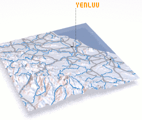 Places with similar names to Yên Lưu, Vietnam ::
Disclaimer :: Information on this page comes without warranty of any kind |
||
|
Where is Yên Lưu? Elevation and coordinates ::
Latitude (lat): 18°40'0"N Longitude (lon): 105°43'0"E
Elevation (approx.): 4m (map arrows pan, magnifying glasses zoom) |
||
|
Visiting Yên Lưu? Hotel/Accommodation ::
Book a hotel in Yên Lưu Travel Guide ::
Buy a travel guide for Vietnam rental cars ::
car rental offers GPS waypoint ::
download a GPX waypoint (PoI) of Yên Lưu for your GPS receiver
|
||