|
search place name
|
||
Baimachang (Anhui, China)Baimachang is a town in the Anhui region of China. An overview map of the region around Baimachang is displayed below.
regional and 3d topo map of Baimachang, China ::

Baimachang airports ::
The nearest airport is NKG - Nanjing Lukou, located 103.7 km north west of Baimachang.
Other airports nearby include HGH - Hangzhou Xiaoshan (121.5 km south east), SHA - Shanghai Hongqiao Intl (164.6 km east), NGB - Ninbo Lishe (224.3 km south east), Nearby towns ::
Niutoushan (0.0km north) //
Yangfengjie (3.2km north east) //
Zuning (3.7km south west) //
Jiekou (4.5km south east) //
Nianziwan (6.0km north west) //
Dongchuanling (6.7km south) //
Huaikan (6.2km east) //
Xinhangzhen (6.4km west) //
Baiyan (7.6km north) //
Fenjieling (8.1km north west) //
Maoshan (8.3km north) //
Xiaolingcun (8.0km north west) //
Yunfeng (8.6km south) //
Shangbaocun (7.7km west) //
Changzhong (9.0km south east) //
[all distances 'as the bird flies' and approximate] 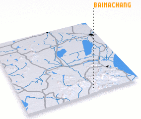 Places with similar names to Baimachang, China ::
// Bambasiang (ID)
// Baimachang (CN)
// Bamaochong (CN)
// Baomacheng (CN)
// Beimachang (CN)
// Bumchang (MM)
Disclaimer :: Information on this page comes without warranty of any kind |
||
|
Where is Baimachang? Elevation and coordinates ::
Latitude (lat): 31°4'0"N Longitude (lon): 119°37'0"E
Elevation (approx.): 205m (map arrows pan, magnifying glasses zoom) |
||
|
Visiting Baimachang? Hotel/Accommodation ::
Book a hotel in Baimachang Travel Guide ::
Buy a travel guide for China rental cars ::
car rental offers GPS waypoint ::
download a GPX waypoint (PoI) of Baimachang for your GPS receiver
|
||