|
search place name
|
||
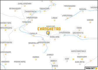
Changhetao (Hebei, China)Changhetao is a town in the Hebei region of China. An overview map of the region around Changhetao is displayed below.
regional and 3d topo map of Changhetao, China ::
Changhetao airports ::
The nearest airport is PEK - Beijing Capital Intl, located 91.4 km west of Changhetao.
Other airports nearby include TSN - Tianjin Binhai (141.3 km south), Nearby towns ::
Dahuiyao (2.5km north) //
Miaoliang (2.4km south east) //
Nanshuangdong (2.4km south west) //
Wangpingshi (4.0km south) //
Yumulin (4.5km west) //
Laowa (5.8km north) //
Chiushugou (4.6km east) //
Shuanglin (6.1km south west) //
Jiubozi (8.4km south) //
Xiaodongqu (7.6km north west) //
Xinglong (7.6km north west) //
Jiancaigou (8.4km north east) //
Zhuanghuyu (9.7km north west) //
[all distances 'as the bird flies' and approximate] 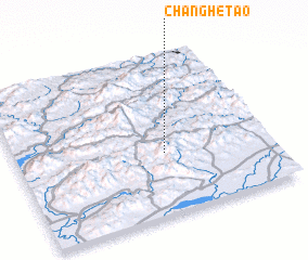 Places with similar names to Changhetao, China ::
Disclaimer :: Information on this page comes without warranty of any kind |
||
|
Where is Changhetao? Elevation and coordinates ::
Latitude (lat): 40°23'0"N Longitude (lon): 117°35'0"E
Elevation (approx.): 735m (map arrows pan, magnifying glasses zoom) |
||
|
Visiting Changhetao? Hotel/Accommodation ::
Book a hotel in Changhetao Travel Guide ::
Buy a travel guide for China rental cars ::
car rental offers GPS waypoint ::
download a GPX waypoint (PoI) of Changhetao for your GPS receiver
|
||