|
search place name
|
||
Dashawo (Henan, China)Dashawo is a town in the Henan region of China. An overview map of the region around Dashawo is displayed below.
regional and 3d topo map of Dashawo, China ::

Dashawo airports ::
The nearest airport is CGO - Zhengzhou Xinzheng, located 108.5 km south of Dashawo.
Nearby towns ::
Chuqiu (2.1km south west) //
Daliuzhuang (2.7km north west) //
Liangmatai (5.4km south west) //
Hongzhou (6.5km north) //
Zhaogu (6.9km south) //
Linchang (6.3km east) //
Suncun (6.8km north east) //
Shangbali (7.6km north west) //
[all distances 'as the bird flies' and approximate] 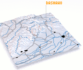 Places with similar names to Dashawo, China ::
// Dachowa (PL)
// Dachowa (PL)
// Tychowo (PL)
// Tshwee (ZA)
// Tshowa (CD)
// Dechiwa (GH)
// Tachiawa (NG)
// Ta-chu-wei (TW)
// Ta-chu-wei (TW)
// Ta-chu-wei (TW)
Disclaimer :: Information on this page comes without warranty of any kind |
||
|
Where is Dashawo? Elevation and coordinates ::
Latitude (lat): 35°29'11"N Longitude (lon): 113°39'32"E
Elevation (approx.): 93m (map arrows pan, magnifying glasses zoom) |
||
|
Visiting Dashawo? Hotel/Accommodation ::
Book a hotel in Dashawo Travel Guide ::
Buy a travel guide for China rental cars ::
car rental offers GPS waypoint ::
download a GPX waypoint (PoI) of Dashawo for your GPS receiver
|
||