|
search place name
|
||
Huangtankou (Zhejiang, China)Huangtankou is a town in the Zhejiang region of China. An overview map of the region around Huangtankou is displayed below.
regional and 3d topo map of Huangtankou, China ::

Huangtankou airports ::
The nearest airport is HGH - Hangzhou Xiaoshan, located 214.6 km north east of Huangtankou.
Nearby towns ::
Zhuangdi (2.8km east) //
Shishi (4.0km north) //
Tiancangling (4.4km east) //
Yuli (5.1km south) //
Damenli (5.4km east) //
Liangmaopu (6.6km south) //
Nianli (7.8km north west) //
Changzhu (7.8km south east) //
Dazhou (8.5km north east) //
[all distances 'as the bird flies' and approximate] 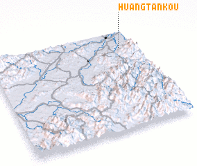 Places with similar names to Huangtankou, China ::
// Hanagdong (PH)
// Hang Dong (TH)
// Hang-dong (KP)
// Hang-dong (KP)
// Haong-dong (KP)
// Hong-dong (KP)
// Hong-dong (KP)
// Haeng-dong (KR)
// Haeng-dong (KR)
// Hang-dong (KR)
Disclaimer :: Information on this page comes without warranty of any kind |
||
|
Where is Huangtankou? Elevation and coordinates ::
Latitude (lat): 28°50'0"N Longitude (lon): 118°54'0"E
Elevation (approx.): 95m (map arrows pan, magnifying glasses zoom) |
||
|
Visiting Huangtankou? Hotel/Accommodation ::
Book a hotel in Huangtankou Travel Guide ::
Buy a travel guide for China rental cars ::
car rental offers GPS waypoint ::
download a GPX waypoint (PoI) of Huangtankou for your GPS receiver
|
||