|
search place name
|
||
Jinshetou (Fujian, China)Jinshetou is a town in the Fujian region of China. An overview map of the region around Jinshetou is displayed below.
regional and 3d topo map of Jinshetou, China ::

Jinshetou airports ::
The nearest airport is MZW - Matsu Beigan, located 63.0 km south east of Jinshetou.
Other airports nearby include FOC - Fuzhou Changle (79.6 km south), TPE - Taipei Chiang Kai Shek Intl (240.1 km south east), TSA - Taipei Sungshan (263.7 km south east), Nearby towns ::
Erdu (6.5km south) //
Zhangwan (6.8km north) //
Ningde (6.3km west) //
Wanyao (7.8km south east) //
Jinhanshezu (8.5km west) //
[all distances 'as the bird flies' and approximate] 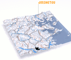 Places with similar names to Jinshetou, China ::
// Juanchito (PA)
// Januchta (PL)
// Jánoshida (HU)
// Juanchito (CO)
// John Chite (ZM)
// Joni Chita (ZM)
// Giuncheto (FR)
// Jinshadi (CN)
Disclaimer :: Information on this page comes without warranty of any kind |
||
|
Where is Jinshetou? Elevation and coordinates ::
Latitude (lat): 26°39'1"N Longitude (lon): 119°35'6"E
Elevation (approx.): -32768m (map arrows pan, magnifying glasses zoom) |
||
|
Visiting Jinshetou? Hotel/Accommodation ::
Book a hotel in Jinshetou Travel Guide ::
Buy a travel guide for China rental cars ::
car rental offers GPS waypoint ::
download a GPX waypoint (PoI) of Jinshetou for your GPS receiver
|
||