|
search place name
|
||
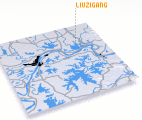
Liuzigang (Hubei, China)Liuzigang is a town in the Hubei region of China. An overview map of the region around Liuzigang is displayed below.
regional and 3d topo map of Liuzigang, China ::

Liuzigang airports ::
The nearest airport is WUH - Wuhan Tianhe, located 53.5 km west of Liuzigang.
Other airports nearby include KHN - Nanchang Changbei Intl (237.6 km south east), Nearby towns ::
 Places with similar names to Liuzigang, China ::
// Laskownica (PL)
// Losso Goungou (NE)
// Louzignac (FR)
// Hlaskonka (SK)
// Luosikuang (CN)
// Lusigang (CN)
// Laisaikawng (MM)
// Lusignac (FR)
Disclaimer :: Information on this page comes without warranty of any kind |
||
|
Where is Liuzigang? Elevation and coordinates ::
Latitude (lat): 30°46'0"N Longitude (lon): 114°46'0"E
Elevation (approx.): 23m (map arrows pan, magnifying glasses zoom) |
||
|
Visiting Liuzigang? Hotel/Accommodation ::
Book a hotel in Liuzigang Travel Guide ::
Buy a travel guide for China rental cars ::
car rental offers GPS waypoint ::
download a GPX waypoint (PoI) of Liuzigang for your GPS receiver
|
||