|
search place name
|
||
Lubei (Shanghai, China)Lubei is a town in the Shanghai region of China. An overview map of the region around Lubei is displayed below.
regional and 3d topo map of Lubei, China ::

Lubei airports ::
The nearest airport is SHA - Shanghai Hongqiao Intl, located 55.9 km north west of Lubei.
Other airports nearby include NGB - Ninbo Lishe (130.9 km south), HGH - Hangzhou Xiaoshan (158.1 km south west), Nearby towns ::
Mianchang (0.7km west) //
Mianfang (2.8km east) //
Donghai (3.0km east) //
Xingang (3.9km north east) //
Wanxiang (3.5km west) //
Shuyuan (4.3km south east) //
Tangbei (4.7km south) //
Yanjiazhai (4.4km west) //
Nicheng (5.8km south west) //
Shuichuan (5.6km south west) //
Machang (5.9km south west) //
Wanwu (6.0km west) //
Nianbalian (6.9km south east) //
Henggang (7.3km south) //
Guoyuan (7.9km south) //
Laogang (7.9km north) //
Zhenghai (8.8km south) //
Pengzhen (8.4km south west) //
Zhonggang (8.9km north) //
Peng'er (9.0km south west) //
Pengsan (9.9km south west) //
Shaochang (10.0km south west) //
[all distances 'as the bird flies' and approximate] 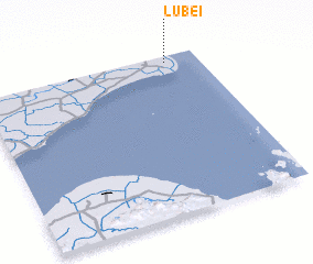 Places with similar names to Lubei, China ::
Disclaimer :: Information on this page comes without warranty of any kind |
||
|
Where is Lubei? Elevation and coordinates ::
Latitude (lat): 30°57'30"N Longitude (lon): 121°51'7"E
Elevation (approx.): 4m (map arrows pan, magnifying glasses zoom) |
||
|
Visiting Lubei? Hotel/Accommodation ::
Book a hotel in Lubei Travel Guide ::
Buy a travel guide for China rental cars ::
car rental offers GPS waypoint ::
download a GPX waypoint (PoI) of Lubei for your GPS receiver
|
||