|
search place name
|
||
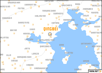
Qingbei (Zhejiang, China)Qingbei is a town in the Zhejiang region of China. An overview map of the region around Qingbei is displayed below.
regional and 3d topo map of Qingbei, China ::
Qingbei airports ::
The nearest airport is NGB - Ninbo Lishe, located 172.7 km north of Qingbei.
Other airports nearby include HGH - Hangzhou Xiaoshan (223.9 km north), Nearby towns ::
Tiaotou (0.2km south west) //
Qingjiangzhen (2.8km south west) //
Dutou (2.9km south west) //
Jinzhu (3.0km north west) //
Shangtang (4.1km north east) //
Xiatang (4.2km north east) //
Huanshan (4.5km north) //
Fangjiangyu (4.3km west) //
Qianzhaoxi (5.1km south) //
Shangbutou (4.8km south west) //
Da'ao (5.5km south east) //
Nantangzhen (6.1km south) //
Xiaofu (6.0km west) //
Ximen (6.1km west) //
Baixizhen (6.8km north) //
Songyang (7.1km north) //
Xialingyan (7.2km north west) //
Xuankeng (7.7km north) //
Nengrensi (7.3km north west) //
Lanyupu (7.3km west) //
Xianglingtou (8.2km north) //
Yandangshan (8.3km north) //
Nan'aoshan (7.7km north east) //
Furongzhen (7.6km west) //
Haikou (7.8km west) //
Longze (8.9km south west) //
Nanyang (9.5km south west) //
Kongtou (9.2km south east) //
Beicun (9.6km south west) //
[all distances 'as the bird flies' and approximate] 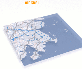 Places with similar names to Qingbei, China ::
Disclaimer :: Information on this page comes without warranty of any kind |
||
|
Where is Qingbei? Elevation and coordinates ::
Latitude (lat): 28°17'57"N Longitude (lon): 121°6'52"E
Elevation (approx.): 6m (map arrows pan, magnifying glasses zoom) |
||
|
Visiting Qingbei? Hotel/Accommodation ::
Book a hotel in Qingbei Travel Guide ::
Buy a travel guide for China rental cars ::
car rental offers GPS waypoint ::
download a GPX waypoint (PoI) of Qingbei for your GPS receiver
|
||