|
search place name
|
||
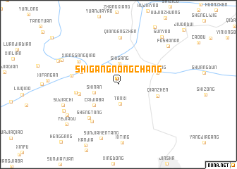
Shigangnongchang (Jiangsu, China)Shigangnongchang is a town in the Jiangsu region of China. An overview map of the region around Shigangnongchang is displayed below.
regional and 3d topo map of Shigangnongchang, China ::
Shigangnongchang airports ::
The nearest airport is SHA - Shanghai Hongqiao Intl, located 115.7 km south of Shigangnongchang.
Other airports nearby include HGH - Hangzhou Xiaoshan (224.9 km south), Nearby towns ::
Tanxi (3.1km south) //
Shigang (3.3km north) //
Shinan (3.5km west) //
Caijiaba (4.7km south west) //
Sanyao (5.3km west) //
Beiguanjing (5.5km west) //
Wuzong (5.5km east) //
Qi'anzhen (5.5km east) //
Sanjiaochi (5.9km west) //
Shengtang (6.6km south west) //
Si'an (6.8km south west) //
Xianggangqiao (6.5km north west) //
Qiandengzhen (7.4km north) //
Huashijie (6.5km west) //
Sunjiamentang (8.9km south) //
Sujiachi (8.1km south west) //
Yanjiayuan (8.4km south west) //
Yingxiong (8.4km south west) //
Fushan'an (9.0km north east) //
Sunyao (9.6km north east) //
Yejiadu (9.3km south west) //
[all distances 'as the bird flies' and approximate]  Places with similar names to Shigangnongchang, China ::
// Shuguangnongchang (CN)
// Shuguangnongchang (CN)
Disclaimer :: Information on this page comes without warranty of any kind |
||
|
Where is Shigangnongchang? Elevation and coordinates ::
Latitude (lat): 32°12'0"N Longitude (lon): 120°59'40"E
Elevation (approx.): 4m (map arrows pan, magnifying glasses zoom) |
||
|
Visiting Shigangnongchang? Hotel/Accommodation ::
Book a hotel in Shigangnongchang Travel Guide ::
Buy a travel guide for China rental cars ::
car rental offers GPS waypoint ::
download a GPX waypoint (PoI) of Shigangnongchang for your GPS receiver
|
||