|
search place name
|
||
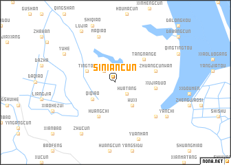
Siniancun (Anhui, China)Siniancun is a town in the Anhui region of China. An overview map of the region around Siniancun is displayed below.
regional and 3d topo map of Siniancun, China ::
Siniancun airports ::
The nearest airport is NKG - Nanjing Lukou, located 49.0 km north east of Siniancun.
Other airports nearby include HFE - Hefei Luogang (134.7 km west), HGH - Hangzhou Xiaoshan (213.1 km south east), Nearby towns ::
Sanyuanqiao (2.4km north west) //
Huatang (2.4km south east) //
Qiqiao (4.2km south west) //
Wuxi (4.4km south east) //
Tingtou (4.4km north west) //
Tangnange (5.4km north east) //
Huangchi (6.0km south west) //
Xujiaduo (5.6km east) //
Zhuangcunwan (5.8km east) //
Maqiao (7.8km north) //
Lihan (7.8km south east) //
Yuhe (8.5km north west) //
Lujia (9.6km north west) //
Zhucun (9.6km south west) //
Yanchi (9.0km south east) //
[all distances 'as the bird flies' and approximate] 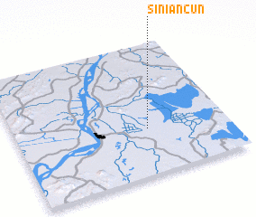 Places with similar names to Siniancun, China ::
// Sinangoun (TD)
// Sonong-ni (KP)
// Sonong-ni (KR)
// Xin'ancun (CN)
// Sinnong-ni (KR)
// Saningan (PH)
// Sinongan (PH)
// Sinonogan (PH)
// Xiaonanguan (CN)
// Xinancun (CN)
Disclaimer :: Information on this page comes without warranty of any kind |
||
|
Where is Siniancun? Elevation and coordinates ::
Latitude (lat): 31°21'0"N Longitude (lon): 118°37'30"E
Elevation (approx.): 6m (map arrows pan, magnifying glasses zoom) |
||
|
Visiting Siniancun? Hotel/Accommodation ::
Book a hotel in Siniancun Travel Guide ::
Buy a travel guide for China rental cars ::
car rental offers GPS waypoint ::
download a GPX waypoint (PoI) of Siniancun for your GPS receiver
|
||