|
search place name
|
||
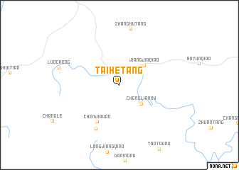
Taihetang (Hunan, China)Taihetang is a town in the Hunan region of China. An overview map of the region around Taihetang is displayed below.
regional and 3d topo map of Taihetang, China ::
Taihetang airports ::
The nearest airport is CSX - Changcha Huanghua, located 211.1 km north east of Taihetang.
Other airports nearby include KWL - Guilin Liangjiang (246.0 km south west), Nearby towns ::
Chenglianxu (4.3km south east) //
Jiangjiaqiao (4.6km north east) //
Chenjiawan (6.6km south west) //
Ziyunqiao (7.7km south west) //
Zhangmutang (8.9km north) //
[all distances 'as the bird flies' and approximate] 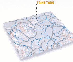 Places with similar names to Taihetang, China ::
// Taehŏ-dong (KP)
// Taehoedonggu (KP)
// Tohoe-dong (KP)
// Dhāding (NP)
// Dahedang (CN)
// Dahedong (CN)
// Daheiting (CN)
// Dahetang (CN)
Disclaimer :: Information on this page comes without warranty of any kind |
||
|
Where is Taihetang? Elevation and coordinates ::
Latitude (lat): 26°53'43"N Longitude (lon): 111°39'1"E
Elevation (approx.): 184m (map arrows pan, magnifying glasses zoom) |
||
|
Visiting Taihetang? Hotel/Accommodation ::
Book a hotel in Taihetang Travel Guide ::
Buy a travel guide for China rental cars ::
car rental offers GPS waypoint ::
download a GPX waypoint (PoI) of Taihetang for your GPS receiver
|
||