|
search place name
|
||
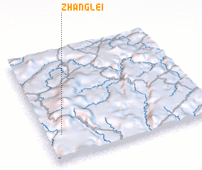
Zhanglei (Guizhou, China)Zhanglei is a town in the Guizhou region of China. An overview map of the region around Zhanglei is displayed below.
regional and 3d topo map of Zhanglei, China ::

Zhanglei airports ::
The nearest airport is KWE - Guiyang Longdongbao, located 133.3 km west of Zhanglei.
Other airports nearby include KWL - Guilin Liangjiang (225.7 km south east), Nearby towns ::
 Places with similar names to Zhanglei, China ::
// Şahinoğlu (TR)
// Zhanakala (KZ)
// Zhangaaūyl (KZ)
// Zhangaly (KZ)
// Zhonglou (CN)
// Zhuangli (CN)
// Sahankylä (FI)
// Xiahuangli (CN)
// Xiahuanglou (CN)
// Xiaohenglu (CN)
Disclaimer :: Information on this page comes without warranty of any kind |
||
|
Where is Zhanglei? Elevation and coordinates ::
Latitude (lat): 26°14'37"N Longitude (lon): 108°5'45"E
Elevation (approx.): 1162m (map arrows pan, magnifying glasses zoom) |
||
|
Visiting Zhanglei? Hotel/Accommodation ::
Book a hotel in Zhanglei Travel Guide ::
Buy a travel guide for China rental cars ::
car rental offers GPS waypoint ::
download a GPX waypoint (PoI) of Zhanglei for your GPS receiver
|
||