|
search place name
|
||
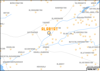
Al Abyāt (Al Ḩudaydah, Yemen)Al Abyāt is a town in the Al Ḩudaydah region of Yemen. An overview map of the region around Al Abyāt is displayed below.
regional and 3d topo map of Al Abyāt, Yemen ::
Nearby towns ::
Al Qaḑāʼ (0.5km north east) //
Al Mişbar (1.7km south east) //
Al Katabīyah (2.7km north east) //
Ḩabt al Wa‘ārīyah (2.7km south east) //
Ash Sharāqī (2.9km south) //
Al Maḩali ash Sha‘āwīyah (3.2km south) //
Dayr Zāwiyah (3.3km north west) //
Mukayminīyah (3.7km south) //
Tannan (4.2km north) //
Aţ Ţawr (4.2km east) //
Al Munaşşar (4.8km south east) //
Mişbār (5.5km south) //
Al Mukayminīyah (5.8km south west) //
Al Marāwi‘ah (6.2km north east) //
Dayr Ḩasan (6.3km west) //
Al Ḩillah (6.5km east) //
Malākidīyah (7.0km north east) //
Shuraymī (7.3km south west) //
Maḩall Mubārak (7.8km south west) //
Al ‘Uraymah (8.4km east) //
Az Za‘farān (9.3km south west) //
Al Maḩdabīyah (10.1km north west) //
[all distances 'as the bird flies' and approximate] 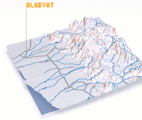 Places with similar names to Al Abyāt, Yemen ::
// Al Bayāḑ (EG)
// Al Bayāḑī (EG)
// Al Abyaḑ (SD)
// Al Abyaḑ (OM)
// Al Abyaḑ (OM)
// ‘Alī Bayāt (IR)
// Al Bayāḑah (LB)
// Al Abyaḑ (LY)
// Al Bayāḑah (YE)
// Al Biyāḑī (SA)
Disclaimer :: Information on this page comes without warranty of any kind |
||
|
Where is Al Abyāt? Elevation and coordinates ::
Latitude (lat): 14°46'52"N Longitude (lon): 43°7'46"E
Elevation (approx.): 55m (map arrows pan, magnifying glasses zoom) |
||
|
Visiting Al Abyāt? Hotel/Accommodation ::
Book a hotel in Al Abyāt Travel Guide ::
Buy a travel guide for Yemen rental cars ::
car rental offers GPS waypoint ::
download a GPX waypoint (PoI) of Al Abyāt for your GPS receiver
|
||