|
search place name
|
||
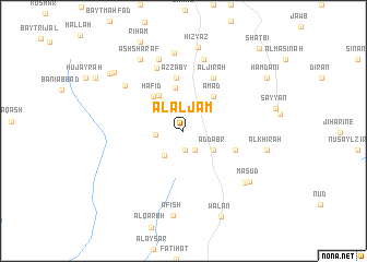
Al Aljām (Yemen)Al Aljām is a town in Yemen. An overview map of the region around Al Aljām is displayed below.
regional and 3d topo map of Al Aljām, Yemen ::
Al Aljām airports ::
The nearest airport is GIZ - Gizan King Abdullah Bin Abdulaziz, located 262.3 km north west of Al Aljām.
Nearby towns ::
Bayt al ‘Ansī (2.0km south) //
‘Ilāf (2.3km south east) //
Al Maşna‘ah (2.8km west) //
Ruḩm al ‘Ulyā (3.0km north west) //
Ad Dār al Bayḑāʼ (3.1km south west) //
Aḑ Ḑabr (3.5km south east) //
Al Miqāsh (3.7km north west) //
Qaḩāzah (4.3km north west) //
Ruhm as Suflá (4.5km north) //
Ḩāfid (4.6km north west) //
‘Amad (4.6km north east) //
Az̧ Z̧aby (5.5km north) //
Al Jayrif (5.5km east) //
Al Jīrah (6.2km north east) //
Biʼr al Hudhayl (7.0km north west) //
Al Marāḩiḑah (7.4km north west) //
Al Maḩāqirah (7.6km north) //
Al ‘Abbāsī (7.7km north) //
Al Qirrān (8.0km north) //
Dār ‘Amr (8.1km south east) //
Ash Sharaf (8.4km north west) //
Mas‘ūd (8.3km south east) //
Ḩizyaz (8.7km north) //
‘Āfish (8.7km south) //
Al Khīrah (8.5km east) //
Ghābir (9.1km north west) //
‘Ukayfān (9.4km north west) //
Wa‘lān (9.5km south east) //
Hamdānī (9.9km north east) //
[all distances 'as the bird flies' and approximate] 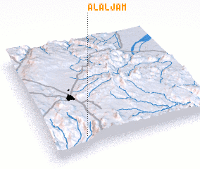 Places with similar names to Al Aljām, Yemen :: Disclaimer :: Information on this page comes without warranty of any kind |
||
|
Where is Al Aljām? Elevation and coordinates ::
Latitude (lat): 15°9'4"N Longitude (lon): 44°14'22"E
Elevation (approx.): 2366m (map arrows pan, magnifying glasses zoom) |
||
|
Visiting Al Aljām? Hotel/Accommodation ::
Book a hotel in Al Aljām Travel Guide ::
Buy a travel guide for Yemen rental cars ::
car rental offers GPS waypoint ::
download a GPX waypoint (PoI) of Al Aljām for your GPS receiver
|
||