|
search place name
|
||
Al ‘Ār (‘Adan, Yemen)Al ‘Ār is a town in the ‘Adan region of Yemen. An overview map of the region around Al ‘Ār is displayed below.
regional and 3d topo map of Al ‘Ār, Yemen ::
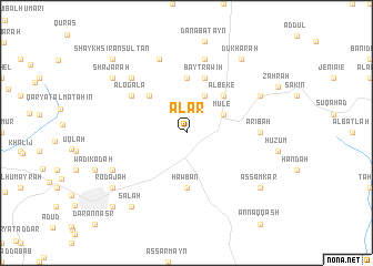
Nearby towns ::
Qar‘amah (4.1km north east) //
Sākin Sa‘īd (4.1km north east) //
Mule (4.1km north east) //
Ḩabīl Aswad (4.1km north east) //
Al Beke (5.2km north east) //
Ash Shagra (5.2km north west) //
Akamat Shaqīf (5.6km north) //
Ḩawbān (5.6km south) //
‘Udaymah (5.6km south) //
Bayt Rāwih (5.8km north) //
Al Ogala (6.6km north west) //
‘Aribah (7.2km east) //
Al ‘Amāqī (7.6km north) //
Dār al ‘Āmirah (7.8km north west) //
Al Ḩamāʼir (7.9km north) //
Kalabah (8.1km south west) //
Savafe (8.1km north east) //
Al Janad (8.1km north east) //
Şālah (9.2km south west) //
Dukhārah (9.2km north east) //
Shajarah (9.1km north west) //
Rodajah (9.1km south west) //
As Samkar (9.1km south east) //
Ta‘izz (10.3km south west) //
‘Uşayfirah (10.3km south west) //
Shaykh Sīrān Sulţān (10.3km north west) //
[all distances 'as the bird flies' and approximate] 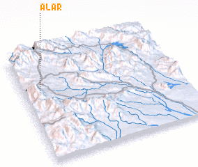 Places with similar names to Al ‘Ār, Yemen ::
Disclaimer :: Information on this page comes without warranty of any kind |
||
|
Where is Al ‘Ār? Elevation and coordinates ::
Latitude (lat): 13°38'0"N Longitude (lon): 44°6'0"E
Elevation (approx.): 1401m (map arrows pan, magnifying glasses zoom) |
||
|
Visiting Al ‘Ār? Hotel/Accommodation ::
Book a hotel in Al ‘Ār Travel Guide ::
Buy a travel guide for Yemen rental cars ::
car rental offers GPS waypoint ::
download a GPX waypoint (PoI) of Al ‘Ār for your GPS receiver
|
||