|
search place name
|
||
Al Ḩujaylah (‘Adan, Yemen)Al Ḩujaylah is a town in the ‘Adan region of Yemen. An overview map of the region around Al Ḩujaylah is displayed below.
regional and 3d topo map of Al Ḩujaylah, Yemen ::

Al Ḩujaylah airports ::
The nearest airport is GIZ - Gizan King Abdullah Bin Abdulaziz, located 240.1 km north west of Al Ḩujaylah.
Nearby towns ::
Al Ḩajjaylah (0.3km south east) //
Sunfur (1.4km south west) //
Al Wilā (2.1km north east) //
Ar Ruqqah (2.4km east) //
Maḩall al Qurūn (4.1km west) //
Dayr al Hayy (4.7km west) //
Maḩall Inabah (5.3km south east) //
Meraiga (5.5km south east) //
Taym (6.3km north) //
Al Maghārib (6.6km north) //
Sūq al Aḩad (6.7km south east) //
Wādī Ḩār (7.1km north west) //
Al Marzamah (7.9km north) //
Ḩājir (8.2km south east) //
Qarn Hāshim (8.3km north) //
Sūq ar Rubū‘ (8.0km west) //
Rubūʼ Banī al Khawlī (8.8km south) //
Waşl (8.8km north east) //
Maḩall an Nūrah Nishāmah (9.7km south east) //
Thimād (10.3km north east) //
Rubū‘ Banī Ḩawlī (10.6km south west) //
Aḑ Ḑahrah (11.0km north east) //
[all distances 'as the bird flies' and approximate] 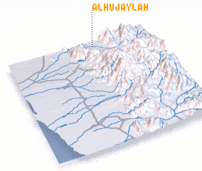 Places with similar names to Al Ḩujaylah, Yemen ::
// Alhajuela (EC)
// Al Ḩajalah (SY)
// Al Ḩijāl (OM)
// Al Ḩijil (YE)
// Al Hijl (YE)
// Al Ḩijlah (YE)
// Al Ḩujaylah (YE)
// Al Ḩajjaylah (YE)
// Al Ḩujayl (YE)
Disclaimer :: Information on this page comes without warranty of any kind |
||
|
Where is Al Ḩujaylah? Elevation and coordinates ::
Latitude (lat): 14°58'39"N Longitude (lon): 43°37'26"E
Elevation (approx.): 634m (map arrows pan, magnifying glasses zoom) |
||
|
Visiting Al Ḩujaylah? Hotel/Accommodation ::
Book a hotel in Al Ḩujaylah Travel Guide ::
Buy a travel guide for Yemen rental cars ::
car rental offers GPS waypoint ::
download a GPX waypoint (PoI) of Al Ḩujaylah for your GPS receiver
|
||