|
search place name
|
||
Al Jirāf (Yemen)Al Jirāf is a town in Yemen. An overview map of the region around Al Jirāf is displayed below.
regional and 3d topo map of Al Jirāf, Yemen ::

Al Jirāf airports ::
The nearest airport is GIZ - Gizan King Abdullah Bin Abdulaziz, located 240.0 km north west of Al Jirāf.
Nearby towns ::
Ar Rawḑah (3.6km north east) //
Bayt Majraz (4.0km south) //
Dhahabān (4.1km north west) //
Rohm as Suflá (4.4km west) //
Şan‘āʼ (5.3km south) //
Al Ḩashīshīyah (5.4km north) //
Madhbaḩ (5.8km south west) //
Sa‘wān (6.6km east) //
Mahaqra (7.0km north east) //
Şarf (7.2km east) //
Shamlān (7.3km west) //
Jidr al A‘lá (7.5km north west) //
Jadar (7.6km north) //
Jidr al Asfal (7.6km north) //
Thuqbān (7.7km north) //
Qaryat ‘Aşr al Asfal (7.8km south west) //
Dār al Yājūr (8.0km west) //
Banī Ḩawāt (8.3km north) //
‘Aşr (8.5km south west) //
Bayt Mi‘yād (8.9km south) //
Bayt Ḩāḑir (8.9km south east) //
Bayt ‘Adhrān (9.7km south west) //
‘Almān (9.8km north west) //
Malikah (10.1km north east) //
[all distances 'as the bird flies' and approximate] 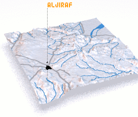 Places with similar names to Al Jirāf, Yemen ::
// Aljorf (ES)
// Al Jurayfah (SA)
// Al Jurayf (SD)
// Alaygirovo (RU)
// Al Jayrif (YE)
// Ahlajärvi (FI)
// Alajärvi (FI)
// Alajärvi (FI)
// Alajärvi (FI)
// Al Jirāf (YE)
Disclaimer :: Information on this page comes without warranty of any kind |
||
|
Where is Al Jirāf? Elevation and coordinates ::
Latitude (lat): 15°24'8"N Longitude (lon): 44°12'29"E
Elevation (approx.): 2234m (map arrows pan, magnifying glasses zoom) |
||
|
Visiting Al Jirāf? Hotel/Accommodation ::
Book a hotel in Al Jirāf Travel Guide ::
Buy a travel guide for Yemen rental cars ::
car rental offers GPS waypoint ::
download a GPX waypoint (PoI) of Al Jirāf for your GPS receiver
|
||