|
search place name
|
||
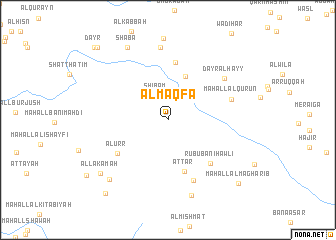
Al Maqfa‘ (‘Adan, Yemen)Al Maqfa‘ is a town in the ‘Adan region of Yemen. An overview map of the region around Al Maqfa‘ is displayed below.
regional and 3d topo map of Al Maqfa‘, Yemen ::
Al Maqfa‘ airports ::
The nearest airport is GIZ - Gizan King Abdullah Bin Abdulaziz, located 238.7 km north west of Al Maqfa‘.
Nearby towns ::
Shibām (3.0km north west) //
Sūq ar Rubū‘ (3.7km north east) //
‘Ubāl (5.2km north) //
‘Aţţār (6.1km south) //
Maḩall Yahyá ‘Umar (6.5km north) //
Al ‘Urr (6.6km south west) //
Rubū‘ Banī Ḩawlī (6.7km south east) //
Raymah (7.3km south) //
Maḩall al Qurūn (7.3km east) //
Dayr al Hayy (7.6km north east) //
Maḩall an Narrah (8.1km north) //
Zahb al Biʼr (8.8km south) //
Shaba (9.2km north west) //
Riqāb (9.2km south west) //
Al Lakamah (9.5km south west) //
Maḩall al Maghārib (10.4km south east) //
Qaryat Jaylān (10.6km south west) //
Dayr Zinqāḩ (11.1km north west) //
Dayr (11.3km north west) //
[all distances 'as the bird flies' and approximate] 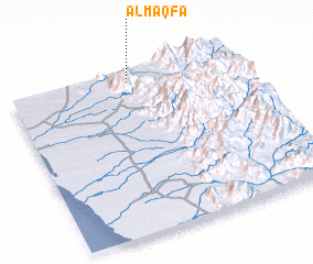 Places with similar names to Al Maqfa‘, Yemen :: Disclaimer :: Information on this page comes without warranty of any kind |
||
|
Where is Al Maqfa‘? Elevation and coordinates ::
Latitude (lat): 14°56'39"N Longitude (lon): 43°31'27"E
Elevation (approx.): 1420m (map arrows pan, magnifying glasses zoom) |
||
|
Visiting Al Maqfa‘? Hotel/Accommodation ::
Book a hotel in Al Maqfa‘ Travel Guide ::
Buy a travel guide for Yemen rental cars ::
car rental offers GPS waypoint ::
download a GPX waypoint (PoI) of Al Maqfa‘ for your GPS receiver
|
||