|
search place name
|
||
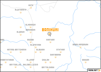
Banī Ḩūmī (Yemen)Banī Ḩūmī is a town in Yemen. An overview map of the region around Banī Ḩūmī is displayed below.
regional and 3d topo map of Banī Ḩūmī, Yemen ::
Banī Ḩūmī airports ::
The nearest airport is EAM - Nejran, located 168.2 km north of Banī Ḩūmī.
Other airports nearby include GIZ - Gizan King Abdullah Bin Abdulaziz (176.1 km north west), Nearby towns ::
Khaywān (2.3km south) //
Al ‘Ufayrah (6.8km south west) //
Al Buwam (7.0km south west) //
‘Artām (7.0km south east) //
‘Aththār (7.0km south east) //
Banī Ḩawmī (7.3km west) //
As Sabī‘ (7.5km west) //
Al Maḩāşir (7.8km north west) //
Shaybarah (8.1km south) //
Jundān (8.1km south west) //
[all distances 'as the bird flies' and approximate] 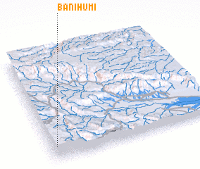 Places with similar names to Banī Ḩūmī, Yemen ::
// Beni Hayyoum (MA)
// Beienheim (DE)
// Boinham (DE)
// Benham (US)
// Ban A Ham (TH)
// Ban A Ham (TH)
// Ban Hom (TH)
// Ban Hom (TH)
// Ban Hom (TH)
// Ban Huai Ma (TH)
Disclaimer :: Information on this page comes without warranty of any kind |
||
|
Where is Banī Ḩūmī? Elevation and coordinates ::
Latitude (lat): 16°8'15"N Longitude (lon): 44°2'0"E
Elevation (approx.): 2117m (map arrows pan, magnifying glasses zoom) |
||
|
Visiting Banī Ḩūmī? Hotel/Accommodation ::
Book a hotel in Banī Ḩūmī Travel Guide ::
Buy a travel guide for Yemen rental cars ::
car rental offers GPS waypoint ::
download a GPX waypoint (PoI) of Banī Ḩūmī for your GPS receiver
|
||