|
search place name
|
||
Bayt al ‘Ubayd (‘Adan, Yemen)Bayt al ‘Ubayd is a town in the ‘Adan region of Yemen. An overview map of the region around Bayt al ‘Ubayd is displayed below.
regional and 3d topo map of Bayt al ‘Ubayd, Yemen ::
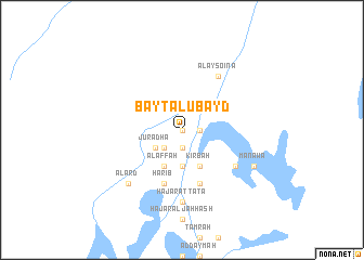
Nearby towns ::
Darb Āl Abū Ţuhayf (0.0km north) //
Ḩişn Zayd (0.0km north) //
Khalwat Saqqāf (1.8km east) //
Jalb Sa‘īd (1.9km south) //
Ḩilwah (2.6km south west) //
Jurādhā (3.3km south west) //
Jalb ‘Uwayḑān (3.7km south) //
Kirbah (4.1km south east) //
Al ‘Affah (4.1km south west) //
Shaqīr (5.8km south) //
Ḩarīb (5.8km south) //
Darb al Ma‘ārif (5.8km south) //
Al Aysoina (6.6km north east) //
Aş Şay‘am (6.5km south east) //
Ḩajar aţ Ţāʼţāʼ (7.4km south) //
Al ‘Arḑ (7.7km south west) //
Manawā (8.1km south east) //
[all distances 'as the bird flies' and approximate] 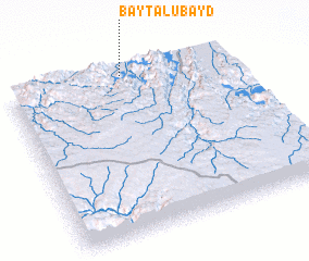 Places with similar names to Bayt al ‘Ubayd, Yemen ::
Disclaimer :: Information on this page comes without warranty of any kind |
||
|
Where is Bayt al ‘Ubayd? Elevation and coordinates ::
Latitude (lat): 14°59'0"N Longitude (lon): 45°31'0"E
Elevation (approx.): 1142m (map arrows pan, magnifying glasses zoom) |
||
|
Visiting Bayt al ‘Ubayd? Hotel/Accommodation ::
Book a hotel in Bayt al ‘Ubayd Travel Guide ::
Buy a travel guide for Yemen rental cars ::
car rental offers GPS waypoint ::
download a GPX waypoint (PoI) of Bayt al ‘Ubayd for your GPS receiver
|
||