|
search place name
|
||
Bayt as Sulţān (‘Adan, Yemen)Bayt as Sulţān is a town in the ‘Adan region of Yemen. An overview map of the region around Bayt as Sulţān is displayed below.
regional and 3d topo map of Bayt as Sulţān, Yemen ::

Nearby towns ::
Al Buqayrayn (0.9km west) //
Manāwirah (1.5km south west) //
Shariq (1.8km west) //
Dīs (1.9km south) //
Al Baqrayn (1.9km north) //
Sharj Bā Sālim (2.1km south west) //
Al Mukallā (2.2km south) //
Al Ma‘āwiz (3.7km north) //
Al Khalaf (4.0km south east) //
Al Ḩarshīyāt (6.4km north east) //
Aş Şabīkhāt (6.6km north east) //
Thil‘at al ‘Ulyā (6.6km north west) //
Al Juwaybīyāt (7.7km north east) //
Ar Rukayb (8.5km east) //
An Najīl (10.3km north east) //
Al Ḩiḑbah (10.4km north east) //
[all distances 'as the bird flies' and approximate] 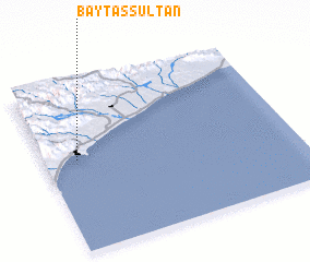 Places with similar names to Bayt as Sulţān, Yemen ::
// Bayt Sulţān (SY)
// Bayt Sulţān (YE)
Disclaimer :: Information on this page comes without warranty of any kind |
||
|
Where is Bayt as Sulţān? Elevation and coordinates ::
Latitude (lat): 14°33'0"N Longitude (lon): 49°8'0"E
Elevation (approx.): 22m (map arrows pan, magnifying glasses zoom) |
||
|
Visiting Bayt as Sulţān? Hotel/Accommodation ::
Book a hotel in Bayt as Sulţān Travel Guide ::
Buy a travel guide for Yemen rental cars ::
car rental offers GPS waypoint ::
download a GPX waypoint (PoI) of Bayt as Sulţān for your GPS receiver
|
||