|
search place name
|
||
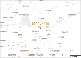
Dār al Ḩayd (Yemen)Dār al Ḩayd is a town in Yemen. An overview map of the region around Dār al Ḩayd is displayed below.
regional and 3d topo map of Dār al Ḩayd, Yemen ::
Dār al Ḩayd airports ::
The nearest airport is GIZ - Gizan King Abdullah Bin Abdulaziz, located 251.0 km north west of Dār al Ḩayd.
Nearby towns ::
Al Jardāʼ (2.9km south west) //
Bayt Ḩāḑir (3.6km north) //
Saḩār (3.6km east) //
Ḩaḑūr (4.1km south east) //
Dār Salam (4.5km south) //
Bayt Mi‘yād (4.8km west) //
‘Īmān (5.3km south east) //
Şubār (5.7km south) //
‘Amd (6.0km south) //
Sanḩān (6.0km south) //
Şawād (6.7km south west) //
Sa‘wān (7.3km north) //
Ḩaḑramī (7.6km south) //
Şan‘āʼ (7.6km north west) //
Al Kharibah (8.1km north east) //
Ḩaḑir (8.1km north east) //
Bayt Baws (8.5km south west) //
Bayt Majraz (8.9km north west) //
Balsanah (9.1km south west) //
Bayt Zabaḑān (9.1km south west) //
Artil (10.0km south west) //
[all distances 'as the bird flies' and approximate] 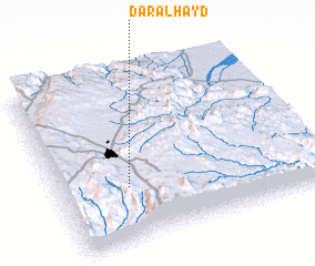 Places with similar names to Dār al Ḩayd, Yemen ::
// Douar el Haouidh (TN)
// Dar el Haït (MA)
// Diar el Hadi (MA)
// Douar el Hadda (MA)
// Dār al Ḩawţah (YE)
Disclaimer :: Information on this page comes without warranty of any kind |
||
|
Where is Dār al Ḩayd? Elevation and coordinates ::
Latitude (lat): 15°19'4"N Longitude (lon): 44°15'58"E
Elevation (approx.): 2334m (map arrows pan, magnifying glasses zoom) |
||
|
Visiting Dār al Ḩayd? Hotel/Accommodation ::
Book a hotel in Dār al Ḩayd Travel Guide ::
Buy a travel guide for Yemen rental cars ::
car rental offers GPS waypoint ::
download a GPX waypoint (PoI) of Dār al Ḩayd for your GPS receiver
|
||