|
search place name
|
||
Ḩabīl Rafa (‘Adan, Yemen)Ḩabīl Rafa is a town in the ‘Adan region of Yemen. An overview map of the region around Ḩabīl Rafa is displayed below.
regional and 3d topo map of Ḩabīl Rafa, Yemen ::
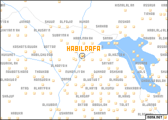
Nearby towns ::
Kuwayḩ (0.0km north) //
As Sarm (1.7km south west) //
Ḩabīl Ḩarūth (1.8km west) //
Sharīfah (1.8km east) //
Shaghādir (1.8km east) //
Shegadi (1.8km east) //
‘Awaj (2.3km west) //
Bājaḩ (2.6km north west) //
Lakmat ad Dūkī (2.6km north east) //
Ḩabīl ‘Uwaysh (3.7km north) //
Ḩabīl Rāḩah (3.7km north) //
Ḩabīl Ḩişn Majri (3.6km east) //
Maţar (3.7km south east) //
Rumaylīyah (4.1km south west) //
Ḩabīl Duwār (4.1km north east) //
Ḩabīl Ajlub (4.1km south east) //
Ḩabīl as Sūq (4.7km east) //
Al Jawb (5.2km north west) //
Dummar (5.2km south east) //
Al Mashārīḩ (5.4km west) //
Ar Rukbah (5.6km south) //
Tasta (5.4km east) //
Al Hukal (5.8km south) //
Al Waţwāţ (5.8km south) //
Al Maşna‘ah (5.8km south) //
Saywat (5.7km east) //
Al Maryāḩ (5.7km south west) //
Al Ḩāḑinah (6.0km south) //
Qarad (6.6km south west) //
[all distances 'as the bird flies' and approximate] 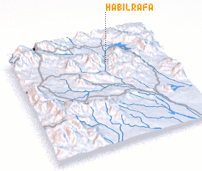 Places with similar names to Ḩabīl Rafa, Yemen :: Disclaimer :: Information on this page comes without warranty of any kind |
||
|
Where is Ḩabīl Rafa? Elevation and coordinates ::
Latitude (lat): 13°48'0"N Longitude (lon): 44°38'0"E
Elevation (approx.): 1213m (map arrows pan, magnifying glasses zoom) |
||
|
Visiting Ḩabīl Rafa? Hotel/Accommodation ::
Book a hotel in Ḩabīl Rafa Travel Guide ::
Buy a travel guide for Yemen rental cars ::
car rental offers GPS waypoint ::
download a GPX waypoint (PoI) of Ḩabīl Rafa for your GPS receiver
|
||