|
search place name
|
||
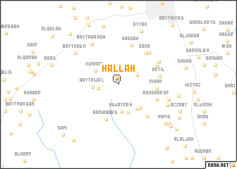
Ḩallah (Yemen)Ḩallah is a town in Yemen. An overview map of the region around Ḩallah is displayed below.
regional and 3d topo map of Ḩallah, Yemen ::
Ḩallah airports ::
The nearest airport is GIZ - Gizan King Abdullah Bin Abdulaziz, located 248.3 km north west of Ḩallah.
Nearby towns ::
Bayt Ḩanbaş (2.9km north) //
Bayt al Qāḑī (3.1km west) //
Bayt Maḩfad (3.3km north east) //
Bayt Rijāl (3.9km west) //
Kushar (4.1km north west) //
Ḩujayrah (4.3km south) //
Al Mawqa‘ (4.6km south) //
‘Ukayfān (4.8km south east) //
Ghābir (5.0km south east) //
Banī ‘Abbād (5.8km south) //
Riham (5.9km east) //
Ḩaddah (6.5km north) //
Sana‘ (6.5km north east) //
Ash Sharaf (6.4km east) //
Artil (6.5km east) //
Al Marāḩiḑah (6.7km south east) //
Balsanah (6.7km north east) //
Bayt Zabaḑān (6.9km north east) //
Bayt Baws (7.2km north east) //
Bayt Na‘āmah (7.6km north west) //
Al ‘Abbāsī (8.1km east) //
Biʼr al Hudhayl (8.2km south east) //
Bayt Radm (8.3km north west) //
‘Aţţān (9.1km north east) //
Ḩāfid (9.5km south east) //
Qaḩāzah (9.8km south east) //
Al Miqāsh (10.4km south east) //
Al Masājid (10.8km north west) //
Waqash (11.1km south west) //
[all distances 'as the bird flies' and approximate] 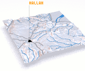 Places with similar names to Ḩallah, Yemen ::
Disclaimer :: Information on this page comes without warranty of any kind |
||
|
Where is Ḩallah? Elevation and coordinates ::
Latitude (lat): 15°14'19"N Longitude (lon): 44°8'42"E
Elevation (approx.): 2732m (map arrows pan, magnifying glasses zoom) |
||
|
Visiting Ḩallah? Hotel/Accommodation ::
Book a hotel in Ḩallah Travel Guide ::
Buy a travel guide for Yemen rental cars ::
car rental offers GPS waypoint ::
download a GPX waypoint (PoI) of Ḩallah for your GPS receiver
|
||