|
search place name
|
||
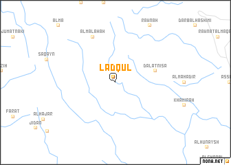
Lādqūl (‘Adan, Yemen)Lādqūl is a town in the ‘Adan region of Yemen. An overview map of the region around Lādqūl is displayed below.
regional and 3d topo map of Lādqūl, Yemen ::
Lādqūl airports ::
The nearest airport is GIZ - Gizan King Abdullah Bin Abdulaziz, located 101.1 km west of Lādqūl.
Other airports nearby include EAM - Nejran (126.4 km north east), AHB - Abha (179.8 km north west), Nearby towns ::
Ḑal‘at Nīsā (6.5km east) //
Al Malaḩah (8.2km north west) //
[all distances 'as the bird flies' and approximate] 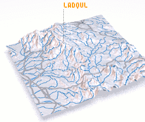 Places with similar names to Lādqūl, Yemen ::
// Liedekahle (DE)
// Lätkalu (EE)
// Leediküla (EE)
// Latgale (LV)
// Lutakala (CD)
// La Ticla (MX)
// Latiguel (MX)
// La Toquilla (MX)
// Latī Kolā (IR)
// Lat Kili (PK)
Disclaimer :: Information on this page comes without warranty of any kind |
||
|
Where is Lādqūl? Elevation and coordinates ::
Latitude (lat): 16°51'0"N Longitude (lon): 43°32'0"E
Elevation (approx.): 2205m (map arrows pan, magnifying glasses zoom) |
||
|
Visiting Lādqūl? Hotel/Accommodation ::
Book a hotel in Lādqūl Travel Guide ::
Buy a travel guide for Yemen rental cars ::
car rental offers GPS waypoint ::
download a GPX waypoint (PoI) of Lādqūl for your GPS receiver
|
||