|
search place name
|
||
Nasfī (‘Adan, Yemen)Nasfī is a town in the ‘Adan region of Yemen. An overview map of the region around Nasfī is displayed below.
regional and 3d topo map of Nasfī, Yemen ::
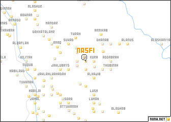
Nearby towns ::
Khayrān (0.0km north) //
Jahwar (1.9km south) //
Makhbua (1.9km south) //
Suwema (1.8km east) //
Kura (1.8km east) //
Dār Ḩaydarah (1.8km west) //
Ad Daqqah (1.8km west) //
An Nujayfah (2.1km south west) //
Al Kharmah (2.3km south east) //
Hajaf (2.6km north west) //
Dār Ḩişn Qurayn (2.6km north west) //
Dhanabah (3.5km north west) //
Sadá (4.1km south east) //
Shi‘b Taym (4.1km south west) //
Al Ḩājib (4.1km south east) //
Ḩabīl Jabar (4.2km north east) //
Nawbat al Khalā (5.2km south) //
Dhanab (5.2km north east) //
Suwād (5.2km north west) //
Ad Dabrah (5.4km east) //
Dār Khula (5.6km south) //
Tūrah (5.5km north west) //
Thubirah (5.7km east) //
Jawl ‘Ubayd (5.7km west) //
Jidrah (5.7km west) //
Daʼas (6.6km north east) //
Ar Rikāb (6.8km north east) //
Al Ḩummaydah (6.6km west) //
‘Amaq (6.8km north west) //
[all distances 'as the bird flies' and approximate] 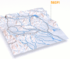 Places with similar names to Nasfī, Yemen ::
Disclaimer :: Information on this page comes without warranty of any kind |
||
|
Where is Nasfī? Elevation and coordinates ::
Latitude (lat): 13°35'0"N Longitude (lon): 44°57'0"E
Elevation (approx.): 759m (map arrows pan, magnifying glasses zoom) |
||
|
Visiting Nasfī? Hotel/Accommodation ::
Book a hotel in Nasfī Travel Guide ::
Buy a travel guide for Yemen rental cars ::
car rental offers GPS waypoint ::
download a GPX waypoint (PoI) of Nasfī for your GPS receiver
|
||