|
search place name
|
||
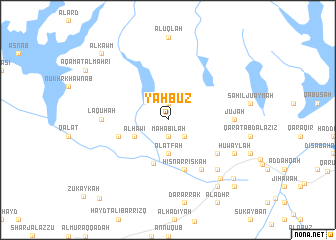
Yahbūz̧ (‘Adan, Yemen)Yahbūz̧ is a town in the ‘Adan region of Yemen. An overview map of the region around Yahbūz̧ is displayed below.
regional and 3d topo map of Yahbūz̧, Yemen ::
Yahbūz̧ airports ::
The nearest airport is SHW - Sharurah, located 224.1 km north west of Yahbūz̧.
Nearby towns ::
Ḩişn al Malā (1.9km north) //
An Nukhush (1.9km north) //
Mahābilah (1.9km south) //
Al Biʼr (2.6km south east) //
Al ‘Aţfah (3.7km south) //
Al Ḩāwī (4.0km south west) //
Al Juwādah (5.1km south) //
Dār Şāliḩ (5.8km south) //
Ḩişn ar Riskah (5.8km south) //
Namlah (5.7km west) //
Āl ash Shaykh ‘Alī (6.6km south east) //
‘Umar as Sarr (6.5km south east) //
Laqūhah (7.1km west) //
Jūjah (7.1km east) //
Al ‘Aqqād (7.7km south east) //
Huwaylah (8.0km south east) //
Dār (8.0km south east) //
Khashāmir (8.6km south east) //
Al Himmah (9.1km south east) //
Khumayr (9.6km south east) //
As Sala (10.3km north west) //
Al Kawm (10.3km north west) //
Khamūr (10.3km south east) //
Qusays (11.5km south west) //
[all distances 'as the bird flies' and approximate] 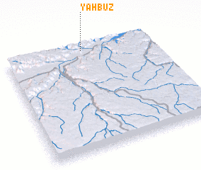 Places with similar names to Yahbūz̧, Yemen ::
Disclaimer :: Information on this page comes without warranty of any kind |
||
|
Where is Yahbūz̧? Elevation and coordinates ::
Latitude (lat): 15°58'0"N Longitude (lon): 48°32'0"E
Elevation (approx.): 742m (map arrows pan, magnifying glasses zoom) |
||
|
Visiting Yahbūz̧? Hotel/Accommodation ::
Book a hotel in Yahbūz̧ Travel Guide ::
Buy a travel guide for Yemen rental cars ::
car rental offers GPS waypoint ::
download a GPX waypoint (PoI) of Yahbūz̧ for your GPS receiver
|
||