|
search place name
|
||
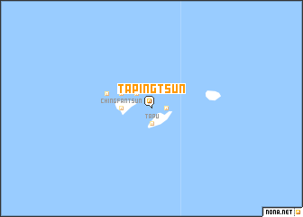
Ta-p'ing-ts'un (Fu-chien, Taiwan)Ta-p'ing-ts'un is a town in the Fu-chien region of Taiwan. An overview map of the region around Ta-p'ing-ts'un is displayed below.
regional and 3d topo map of Ta-p'ing-ts'un, Taiwan ::
Ta-p'ing-ts'un airports ::
The nearest airport is MZW - Matsu Beigan, located 28.8 km north of Ta-p'ing-ts'un.
Other airports nearby include FOC - Fuzhou Changle (30.6 km west), TPE - Taipei Chiang Kai Shek Intl (160.9 km south east), TSA - Taipei Sungshan (187.8 km south east), KNH - Chinmen Shang Yi (235.2 km south west), Nearby towns ::
Fu-cheng-ts'un (1.7km east) //
Ta-pu (1.9km south) //
Ts'ai-p'u-wo (2.5km north west) //
Ching-fan-ts'un (3.3km west) //
Lao-t'ao-li (3.8km north west) //
T'ien-ao-ts'un (3.8km north west) //
Hsi-ch'iu-ts'un (3.8km north west) //
K'un-ch'iu-ts'un (5.3km west) //
[all distances 'as the bird flies' and approximate] 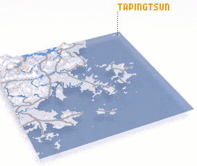 Places with similar names to Ta-p'ing-ts'un, Taiwan ::
// T'ai-p'ing-ts'un (TW)
// Ta-p'eng-ts'un (TW)
Disclaimer :: Information on this page comes without warranty of any kind |
||
|
Where is Ta-p'ing-ts'un? Elevation and coordinates ::
Latitude (lat): 25°58'0"N Longitude (lon): 119°58'0"E
Elevation (approx.): -32768m (map arrows pan, magnifying glasses zoom) |
||
|
Visiting Ta-p'ing-ts'un? Hotel/Accommodation ::
Book a hotel in Ta-p'ing-ts'un Travel Guide ::
Buy a travel guide for Taiwan rental cars ::
car rental offers GPS waypoint ::
download a GPX waypoint (PoI) of Ta-p'ing-ts'un for your GPS receiver
|
||