|
search place name
|
||
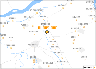
Bubušinac (Srbija, Serbia and Montenegro)Bubušinac is a town in the Srbija region of Serbia and Montenegro. An overview map of the region around Bubušinac is displayed below.
regional and 3d topo map of Bubušinac, Serbia and Montenegro ::
Bubušinac airports ::
The nearest airport is BEG - Beograd, located 75.3 km west of Bubušinac.
Other airports nearby include CSB - Caransebes (116.5 km north east), TSR - Timisoara Traian Vuia (128.0 km north), INI - Nis (155.2 km south), ARW - Arad (168.5 km north), Nearby towns ::
Maljurevac (2.3km north) //
Bratinac (2.4km south east) //
Bradarac (3.0km north) //
Nabrđe (4.1km south) //
Ćirikovac (3.7km west) //
Drmno (6.0km north) //
Trnjane (6.3km south) //
Klenovnik (5.4km north west) //
Požarevac (6.5km south west) //
Salakovac (8.7km south) //
Kostolac (7.7km north west) //
Selo Kostolac (8.8km north) //
[all distances 'as the bird flies' and approximate] 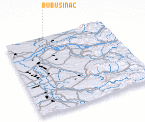 Places with similar names to Bubušinac, Serbia and Montenegro ::
// Babazonga (CF)
// Bobazonga (CF)
// Boubazongo (CF)
// Babasongo (CD)
// Bobisingo (ID)
// Baba Sango (NG)
// Baba Sango (NG)
// Baba Sango (NG)
// Babasango (NG)
// Babušnica (CS)
Disclaimer :: Information on this page comes without warranty of any kind |
||
|
Where is Bubušinac? Elevation and coordinates ::
Latitude (lat): 44°39'38"N Longitude (lon): 21°14'3"E
Elevation (approx.): 77m (map arrows pan, magnifying glasses zoom) |
||
|
Visiting Bubušinac? Hotel/Accommodation ::
Book a hotel in Bubušinac Travel Guide ::
rental cars ::
car rental offers GPS waypoint ::
download a GPX waypoint (PoI) of Bubušinac for your GPS receiver
|
||