|
search place name
|
||
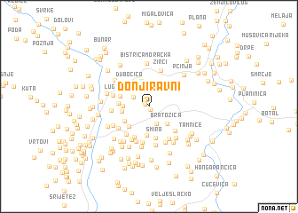
Donji Ravni (Crna Gora, Serbia and Montenegro)Donji Ravni is a town in the Crna Gora region of Serbia and Montenegro. An overview map of the region around Donji Ravni is displayed below.
regional and 3d topo map of Donji Ravni, Serbia and Montenegro ::
Donji Ravni airports ::
The nearest airport is TGD - Podgorica, located 48.1 km south of Donji Ravni.
Other airports nearby include TIV - Tivat (71.7 km south west), DBV - Dubrovnik (99.2 km west), PRN - Pristina (132.2 km east), OMO - Mostar (142.3 km north west), Nearby towns ::
Otročkovina (0.4km south) //
Ravni (0.5km north west) //
Gornji Ravni (0.8km north west) //
Simače (1.9km north west) //
Kokića Strane (2.3km north) //
Presjeka (2.3km south) //
Crkvine (3.1km north) //
Bratožica (2.7km south east) //
Blaca (3.2km north) //
Barice (2.4km west) //
Bare (2.6km west) //
Krževo (3.1km south west) //
Mala (2.9km south west) //
Podi (3.6km south) //
Dubočica (3.4km north west) //
Vrujice (3.2km north west) //
Rudo Polje (2.8km west) //
Potesi (3.0km north west) //
Smira (4.1km south) //
Vinogradine (4.1km south) //
Kričanje (3.9km south east) //
Zasjednica (4.1km south west) //
Ulica (4.5km south) //
Raičevine (3.9km south west) //
Meljaci (4.6km south) //
Crni Potok (4.4km south east) //
Svine (4.5km south) //
Luge (3.6km north west) //
Žirci (4.7km north) //
[all distances 'as the bird flies' and approximate] 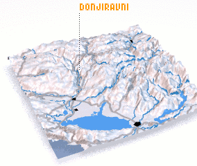 Places with similar names to Donji Ravni, Serbia and Montenegro ::
Disclaimer :: Information on this page comes without warranty of any kind |
||
|
Where is Donji Ravni? Elevation and coordinates ::
Latitude (lat): 42°46'7"N Longitude (lon): 19°26'41"E
Elevation (approx.): 836m (map arrows pan, magnifying glasses zoom) |
||
|
Visiting Donji Ravni? Hotel/Accommodation ::
Book a hotel in Donji Ravni Travel Guide ::
rental cars ::
car rental offers GPS waypoint ::
download a GPX waypoint (PoI) of Donji Ravni for your GPS receiver
|
||