|
search place name
|
||
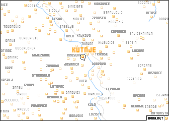
Kutnje (Srbija, Serbia and Montenegro)Kutnje is a town in the Srbija region of Serbia and Montenegro. An overview map of the region around Kutnje is displayed below.
regional and 3d topo map of Kutnje, Serbia and Montenegro ::
Kutnje airports ::
The nearest airport is PRN - Pristina, located 60.8 km south of Kutnje.
Other airports nearby include INI - Nis (90.1 km east), SKP - Skopje (142.6 km south east), TGD - Podgorica (150.5 km south west), BEG - Beograd (195.8 km north), Nearby towns ::
Popovci (1.2km south) //
Leposavić (1.4km north) //
Kruševo (1.7km west) //
Ulije (2.1km north east) //
Tvrđan (2.8km north) //
Prisoje (2.6km south east) //
Pridvorica (3.3km south) //
Jošanica (2.7km south west) //
Dobrava (2.8km south east) //
Gornji Krnjin (3.4km north west) //
Desetak (2.7km west) //
Kruševlje (3.5km south east) //
Ivanje (3.3km south west) //
Trikose (2.8km east) //
Zabrđe (3.2km north east) //
Voznik (4.1km south) //
Sočanica (4.2km south) //
Krš Mahala (3.8km south east) //
Kajkovo (4.6km north) //
Mala (4.0km south east) //
Kostin Potok (4.7km north) //
Begluk (4.5km south east) //
Potok Mala (4.4km south east) //
Vuča (5.4km south) //
Mutivode (4.0km east) //
Birovo (5.1km south west) //
Grkaje (4.8km south west) //
Dren (5.1km north west) //
Vrletnica (4.4km south west) //
[all distances 'as the bird flies' and approximate] 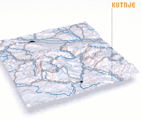 Places with similar names to Kutnje, Serbia and Montenegro ::
Disclaimer :: Information on this page comes without warranty of any kind |
||
|
Where is Kutnje? Elevation and coordinates ::
Latitude (lat): 43°5'30"N Longitude (lon): 20°47'51"E
Elevation (approx.): 510m (map arrows pan, magnifying glasses zoom) |
||
|
Visiting Kutnje? Hotel/Accommodation ::
Book a hotel in Kutnje Travel Guide ::
rental cars ::
car rental offers GPS waypoint ::
download a GPX waypoint (PoI) of Kutnje for your GPS receiver
|
||