|
search place name
|
||
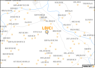
Lovci (Srbija, Serbia and Montenegro)Lovci is a town in the Srbija region of Serbia and Montenegro. An overview map of the region around Lovci is displayed below.
regional and 3d topo map of Lovci, Serbia and Montenegro ::
Lovci airports ::
The nearest airport is INI - Nis, located 99.0 km south east of Lovci.
Other airports nearby include BEG - Beograd (106.9 km north west), PRN - Pristina (166.0 km south), CSB - Caransebes (174.3 km north east), TSR - Timisoara Traian Vuia (194.5 km north), Nearby towns ::
Strižilo (2.7km west) //
Gornji Račnik (3.7km south) //
Bagrdan (2.8km east) //
Donji Račnik (2.9km east) //
Miloševo (4.2km north) //
Vranovac (4.8km south) //
Pišljak (3.9km west) //
Brzan (5.6km north) //
Gornje Štiplje (5.7km south) //
Kusača (4.7km west) //
Donje Štiplje (6.3km south) //
Ðunis-Mala (6.9km north) //
Kalenovac (7.6km south) //
Vojska (6.2km north east) //
Kijevo (6.5km north west) //
Crnče (8.5km south) //
Radošin (7.6km north east) //
Donje Komarice (6.5km west) //
Loznica (10.1km north west) //
Bresje (10.2km north east) //
Voljevče (10.4km south east) //
[all distances 'as the bird flies' and approximate] 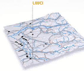 Places with similar names to Lovci, Serbia and Montenegro ::
Disclaimer :: Information on this page comes without warranty of any kind |
||
|
Where is Lovci? Elevation and coordinates ::
Latitude (lat): 44°3'55"N Longitude (lon): 21°8'40"E
Elevation (approx.): 144m (map arrows pan, magnifying glasses zoom) |
||
|
Visiting Lovci? Hotel/Accommodation ::
Book a hotel in Lovci Travel Guide ::
rental cars ::
car rental offers GPS waypoint ::
download a GPX waypoint (PoI) of Lovci for your GPS receiver
|
||