|
search place name
|
||
Mala Kamenica (Srbija, Serbia and Montenegro)Mala Kamenica is a town in the Srbija region of Serbia and Montenegro. An overview map of the region around Mala Kamenica is displayed below.
regional and 3d topo map of Mala Kamenica, Serbia and Montenegro ::

Mala Kamenica airports ::
The nearest airport is CRA - Craiova, located 112.1 km east of Mala Kamenica.
Other airports nearby include CSB - Caransebes (120.5 km north), INI - Nis (123.2 km south west), TSR - Timisoara Traian Vuia (185.9 km north west), SOF - Sofia (198.2 km south), Nearby towns ::
Novo Selo (2.0km north east) //
Mihajlovac (2.3km north east) //
Ostrovu Mare (4.2km north east) //
Dupljane (5.5km south) //
Dušanovac (6.8km south east) //
Slatina (7.8km north) //
Kusjak (7.3km south east) //
Samarinovac (10.5km south east) //
[all distances 'as the bird flies' and approximate] 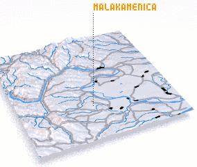 Places with similar names to Mala Kamenica, Serbia and Montenegro ::
// Malý Kamenec (SK)
Disclaimer :: Information on this page comes without warranty of any kind |
||
|
Where is Mala Kamenica? Elevation and coordinates ::
Latitude (lat): 44°20'52"N Longitude (lon): 22°29'3"E
Elevation (approx.): 96m (map arrows pan, magnifying glasses zoom) |
||
|
Visiting Mala Kamenica? Hotel/Accommodation ::
Book a hotel in Mala Kamenica Travel Guide ::
rental cars ::
car rental offers GPS waypoint ::
download a GPX waypoint (PoI) of Mala Kamenica for your GPS receiver
|
||