|
search place name
|
||
Nevade (Srbija, Serbia and Montenegro)Nevade is a town in the Srbija region of Serbia and Montenegro. An overview map of the region around Nevade is displayed below.
regional and 3d topo map of Nevade, Serbia and Montenegro ::

Nevade airports ::
The nearest airport is BEG - Beograd, located 88.6 km north of Nevade.
Other airports nearby include INI - Nis (133.8 km south east), PRN - Pristina (168.0 km south), CSB - Caransebes (207.4 km north east), OSI - Osijek (207.7 km north west), Nearby towns ::
Grabovica (1.9km south) //
Lunjevica (3.8km south) //
Velereč (3.2km north west) //
Jablanica (4.9km south) //
Svračkovci (4.6km north east) //
Gornja Vrbava (4.0km east) //
Gornji Milanovac (4.0km west) //
Majdan (7.4km north) //
Brusnica (5.6km west) //
Ljutovnica (7.7km north west) //
Bojovići (9.0km south west) //
Repište (8.5km south west) //
Božovići (8.9km south west) //
[all distances 'as the bird flies' and approximate] 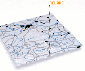 Places with similar names to Nevade, Serbia and Montenegro ::
Disclaimer :: Information on this page comes without warranty of any kind |
||
|
Where is Nevade? Elevation and coordinates ::
Latitude (lat): 44°2'0"N Longitude (lon): 20°30'0"E
Elevation (approx.): 403m (map arrows pan, magnifying glasses zoom) |
||
|
Visiting Nevade? Hotel/Accommodation ::
Book a hotel in Nevade Travel Guide ::
rental cars ::
car rental offers GPS waypoint ::
download a GPX waypoint (PoI) of Nevade for your GPS receiver
|
||