|
search place name
|
||
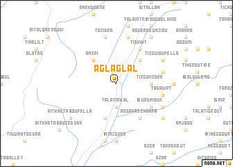
Aglaglal (Marrakech, Morocco)Aglaglal is a town in the Marrakech region of Morocco. An overview map of the region around Aglaglal is displayed below.
regional and 3d topo map of Aglaglal, Morocco ::
Aglaglal airports ::
The nearest airport is AGA - Agadir Inezgane, located 79.9 km south west of Aglaglal.
Other airports nearby include RAK - Marrakech Menara (119.7 km north east), Nearby towns ::
Talat Irhal (3.7km south) //
Taguirart (4.9km north east) //
Amzri (4.9km north west) //
Tizgui Izder (4.8km east) //
Timezgadiouine (5.8km south) //
Iguedmioun (6.0km south east) //
Assaka nʼ Chorfa (6.4km south east) //
Tiskhit (6.4km north east) //
Tagadirt (6.6km east) //
Glalcha Oued Ouaar (6.6km east) //
Ben Takemoust (7.6km north) //
Tazidra (7.6km north) //
Tizguine (7.4km south east) //
Tizgui Ou Fella (7.4km north east) //
Oukhribene (8.4km south east) //
Tabia (8.4km south east) //
Aït Khetab Oufella (8.4km south west) //
Aguerd Oumziou (8.8km north east) //
[all distances 'as the bird flies' and approximate] 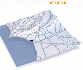 Places with similar names to Aglaglal, Morocco :: Disclaimer :: Information on this page comes without warranty of any kind |
||
|
Where is Aglaglal? Elevation and coordinates ::
Latitude (lat): 30°57'0"N Longitude (lon): 9°2'0"W
Elevation (approx.): 1027m (map arrows pan, magnifying glasses zoom) |
||
|
Visiting Aglaglal? Hotel/Accommodation ::
Book a hotel in Aglaglal Travel Guide ::
Buy a travel guide for Morocco rental cars ::
car rental offers GPS waypoint ::
download a GPX waypoint (PoI) of Aglaglal for your GPS receiver
|
||