|
search place name
|
||
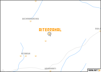
Aït er Rahal (Khouribga, Morocco)Aït er Rahal is a town in the Khouribga region of Morocco. An overview map of the region around Aït er Rahal is displayed below.
regional and 3d topo map of Aït er Rahal, Morocco ::
Aït er Rahal airports ::
The nearest airport is MEK - Meknes Bassatine, located 127.5 km north east of Aït er Rahal.
Other airports nearby include RBA - Rabat Sale (136.5 km north), CMN - Casablanca Mohammed V Intl (136.8 km north west), NNA - Kentira Kenitra (158.8 km north), FEZ - Fez Saiss (163.1 km north east), Nearby towns ::
Dechra el Gsia (2.4km south west) //
Souk el Had des Beni Batao (8.8km south west) //
Dechra Rouached (8.3km north west) //
[all distances 'as the bird flies' and approximate] 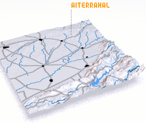
Disclaimer :: Information on this page comes without warranty of any kind |
||
|
Where is Aït er Rahal? Elevation and coordinates ::
Latitude (lat): 32°54'0"N Longitude (lon): 6°14'0"W
Elevation (approx.): 951m (map arrows pan, magnifying glasses zoom) |
||
|
Visiting Aït er Rahal? Hotel/Accommodation ::
Book a hotel in Aït er Rahal Travel Guide ::
Buy a travel guide for Morocco rental cars ::
car rental offers GPS waypoint ::
download a GPX waypoint (PoI) of Aït er Rahal for your GPS receiver
|
||