|
search place name
|
||
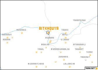
Aït Khouya (Azilal, Morocco)Aït Khouya is a town in the Azilal region of Morocco. An overview map of the region around Aït Khouya is displayed below.
regional and 3d topo map of Aït Khouya, Morocco ::
Aït Khouya airports ::
The nearest airport is ERH - Er-rachidia Moulay Ali Cherif, located 146.2 km east of Aït Khouya.
Other airports nearby include OZZ - Ouarzazate (154.6 km south west), MEK - Meknes Bassatine (205.7 km north), CMN - Casablanca Mohammed V Intl (212.1 km north west), FEZ - Fez Saiss (225.9 km north east), Nearby towns ::
Anergui (1.2km north) //
Aït Aïssa (1.7km north) //
Indahâne (2.2km south) //
Anou nʼAït Boulmane (2.7km south) //
Iaouline (4.8km south) //
Tiourzi (5.4km east) //
Botli (5.4km east) //
Illougui (6.0km south east) //
Tindel (7.0km south) //
Irhrem nʼ Ourhbalou (7.5km south east) //
Irhzissane (7.7km south west) //
[all distances 'as the bird flies' and approximate] 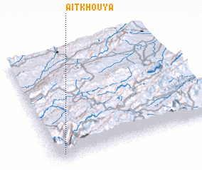 Places with similar names to Aït Khouya, Morocco ::
// Aït Khouya (MA)
Disclaimer :: Information on this page comes without warranty of any kind |
||
|
Where is Aït Khouya? Elevation and coordinates ::
Latitude (lat): 32°3'32"N Longitude (lon): 5°56'23"W
Elevation (approx.): 1565m (map arrows pan, magnifying glasses zoom) |
||
|
Visiting Aït Khouya? Hotel/Accommodation ::
Book a hotel in Aït Khouya Travel Guide ::
Buy a travel guide for Morocco rental cars ::
car rental offers GPS waypoint ::
download a GPX waypoint (PoI) of Aït Khouya for your GPS receiver
|
||