|
search place name
|
||
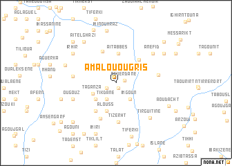
Amalou Ougris (Taroudannt, Morocco)Amalou Ougris is a town in the Taroudannt region of Morocco. An overview map of the region around Amalou Ougris is displayed below.
regional and 3d topo map of Amalou Ougris, Morocco ::
Amalou Ougris airports ::
The nearest airport is AGA - Agadir Inezgane, located 119.9 km west of Amalou Ougris.
Other airports nearby include RAK - Marrakech Menara (148.2 km north), OZZ - Ouarzazate (151.8 km north east), Nearby towns ::
Taourirt (0.9km south east) //
Aguerdane (1.2km east) //
Tamsoult (1.5km south west) //
Tikdane (2.9km south west) //
Imgoun (3.3km south east) //
Taganza (3.7km south west) //
Imi nʼTesgui (3.9km south west) //
Alouss (4.7km south) //
Aït Abbes (4.8km north) //
Ighil n Targant (4.9km north east) //
Imoulana ʼAli (5.4km north) //
Ifguiss (5.3km south west) //
Tililine (6.1km south) //
Tizerht (6.4km south) //
Azaghar nʼIrs (6.0km east) //
Imi Ou Narim (6.1km west) //
Ougouz (6.6km south west) //
Anefid (7.0km north east) //
Tirguitine (7.4km south east) //
Aït el Ghazi (8.0km north west) //
Irhir (7.7km north west) //
Imi nʼOumraz (8.6km north) //
Berguene (7.6km west) //
Imiri (8.7km south) //
Tiferki (8.9km south) //
Aït Lhassene Boubker (8.3km north east) //
Tamoust (9.1km north) //
Anzour (8.1km west) //
Aoudacht (8.2km south east) //
[all distances 'as the bird flies' and approximate] 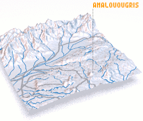 Places with similar names to Amalou Ougris, Morocco ::
// Am Algrous (TD)
Disclaimer :: Information on this page comes without warranty of any kind |
||
|
Where is Amalou Ougris? Elevation and coordinates ::
Latitude (lat): 30°17'26"N Longitude (lon): 8°18'13"W
Elevation (approx.): 1396m (map arrows pan, magnifying glasses zoom) |
||
|
Visiting Amalou Ougris? Hotel/Accommodation ::
Book a hotel in Amalou Ougris Travel Guide ::
Buy a travel guide for Morocco rental cars ::
car rental offers GPS waypoint ::
download a GPX waypoint (PoI) of Amalou Ougris for your GPS receiver
|
||