|
search place name
|
||
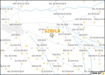
Gzoula (Marrakech, Morocco)Gzoula is a town in the Marrakech region of Morocco. An overview map of the region around Gzoula is displayed below.
regional and 3d topo map of Gzoula, Morocco ::
Gzoula airports ::
The nearest airport is RAK - Marrakech Menara, located 14.5 km west of Gzoula.
Other airports nearby include OZZ - Ouarzazate (118.2 km south east), CMN - Casablanca Mohammed V Intl (197.9 km north), AGA - Agadir Inezgane (208.5 km south west), Nearby towns ::
Najem (2.4km south east) //
Ben Larbi (2.4km south east) //
Oulad Jellal (4.0km north east) //
Douar Caïd Layadi (4.0km north west) //
El Bougaria (3.7km north east) //
Aït Bou Setta (4.0km south west) //
Sfiani (3.7km north west) //
Graoua (3.7km south west) //
Ech Chaïbat (3.9km east) //
Douar Blidene (4.9km north east) //
Oulad Zbir (4.9km north east) //
Talbarat (4.9km south west) //
Azib Oulad Lâdem (5.1km east) //
Jloud (5.1km east) //
Azoubane (6.4km south east) //
Bou Lanouar (6.0km south west) //
Aïn Jdid (6.4km south west) //
Fourou (7.2km south) //
Bou Azza (7.3km south east) //
Chouiter (7.3km south east) //
Douar Soukkane (8.1km north east) //
Berrada (7.3km south west) //
Chrabli (8.1km south east) //
Moulay Cherif (8.1km south west) //
Segraga (8.8km south west) //
Douar Drâa (8.8km south east) //
El Harkat (10.2km south west) //
[all distances 'as the bird flies' and approximate] 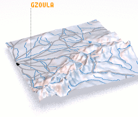 Places with similar names to Gzoula, Morocco ::
Disclaimer :: Information on this page comes without warranty of any kind |
||
|
Where is Gzoula? Elevation and coordinates ::
Latitude (lat): 31°36'0"N Longitude (lon): 7°53'0"W
Elevation (approx.): 499m (map arrows pan, magnifying glasses zoom) |
||
|
Visiting Gzoula? Hotel/Accommodation ::
Book a hotel in Gzoula Travel Guide ::
Buy a travel guide for Morocco rental cars ::
car rental offers GPS waypoint ::
download a GPX waypoint (PoI) of Gzoula for your GPS receiver
|
||