|
search place name
|
||
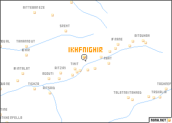
Ikhf nʼIghir (Azilal, Morocco)Ikhf nʼIghir is a town in the Azilal region of Morocco. An overview map of the region around Ikhf nʼIghir is displayed below.
regional and 3d topo map of Ikhf nʼIghir, Morocco ::
Ikhf nʼIghir airports ::
The nearest airport is OZZ - Ouarzazate, located 93.7 km south west of Ikhf nʼIghir.
Other airports nearby include RAK - Marrakech Menara (153.9 km west), CMN - Casablanca Mohammed V Intl (218.1 km north west), Nearby towns ::
Aït Imi (1.9km south) //
Tabant (2.3km south west) //
Ibaqalliwn (2.3km south east) //
Timit (2.6km south west) //
Taourirt nʼAït Milch (2.8km south west) //
Aït Ouanougdal (3.0km east) //
Aguerd nʼOuzrou (3.9km south west) //
Rbat (4.3km east) //
Aït Oughral (4.9km north east) //
Aït Ziri (5.3km south west) //
Idoukaln (6.3km south west) //
Taghoulid (6.2km north east) //
Ifrane (7.0km north east) //
Sremt (7.7km north west) //
Agouti (7.8km south west) //
Aït Saʼid (9.6km south west) //
[all distances 'as the bird flies' and approximate] 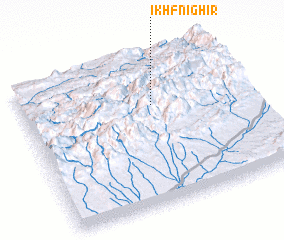 Places with similar names to Ikhf nʼIghir, Morocco :: Disclaimer :: Information on this page comes without warranty of any kind |
||
|
Where is Ikhf nʼIghir? Elevation and coordinates ::
Latitude (lat): 31°40'15"N Longitude (lon): 6°24'58"W
Elevation (approx.): 1866m (map arrows pan, magnifying glasses zoom) |
||
|
Visiting Ikhf nʼIghir? Hotel/Accommodation ::
Book a hotel in Ikhf nʼIghir Travel Guide ::
Buy a travel guide for Morocco rental cars ::
car rental offers GPS waypoint ::
download a GPX waypoint (PoI) of Ikhf nʼIghir for your GPS receiver
|
||