|
search place name
|
||
Iniks (Taroudannt, Morocco)Iniks is a town in the Taroudannt region of Morocco. An overview map of the region around Iniks is displayed below.
regional and 3d topo map of Iniks, Morocco ::

Iniks airports ::
The nearest airport is OZZ - Ouarzazate, located 138.5 km north east of Iniks.
Other airports nearby include AGA - Agadir Inezgane (141.2 km west), RAK - Marrakech Menara (153.8 km north), Nearby towns ::
Tafza (0.7km north) //
Aït Irhzig (0.8km south east) //
Aït ʼAzzi (2.2km south east) //
Timjicht (3.0km north west) //
Aouzel (3.4km north) //
Tiniagourt (3.6km north west) //
Tazouggart (5.2km north) //
Albane (5.6km north east) //
Mesnitene (5.6km north east) //
Tigoudine (5.3km west) //
Timine Louka (5.5km east) //
Agoujgal (6.2km north west) //
Tabouslout (7.1km north west) //
Ibakizene (7.1km south west) //
Iouliouil (7.1km east) //
Ighourmane (8.0km north east) //
Imi nʼTizgui (7.3km east) //
Ouarzdane (7.7km east) //
Tankaout (8.8km north) //
Al Mdini (7.8km east) //
Imdrane (8.4km south west) //
Tazarine (10.4km north east) //
[all distances 'as the bird flies' and approximate] 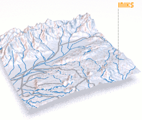 Places with similar names to Iniks, Morocco ::
Disclaimer :: Information on this page comes without warranty of any kind |
||
|
Where is Iniks? Elevation and coordinates ::
Latitude (lat): 30°13'13"N Longitude (lon): 8°5'25"W
Elevation (approx.): 1600m (map arrows pan, magnifying glasses zoom) |
||
|
Visiting Iniks? Hotel/Accommodation ::
Book a hotel in Iniks Travel Guide ::
Buy a travel guide for Morocco rental cars ::
car rental offers GPS waypoint ::
download a GPX waypoint (PoI) of Iniks for your GPS receiver
|
||