|
search place name
|
||
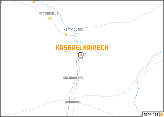
Kasba el Haïrech (Figuig, Morocco)Kasba el Haïrech is a town in the Figuig region of Morocco. An overview map of the region around Kasba el Haïrech is displayed below.
regional and 3d topo map of Kasba el Haïrech, Morocco ::
Kasba el Haïrech airports ::
The nearest airport is ERH - Er-rachidia Moulay Ali Cherif, located 130.6 km west of Kasba el Haïrech.
Other airports nearby include FEZ - Fez Saiss (269.4 km north west), Nearby towns ::
Beni Yatti (3.6km north west) //
Takoumit (5.8km south) //
Oulad Abbes (5.8km south) //
Ksar Aourir (5.8km north) //
Beni Yabel (6.4km north west) //
[all distances 'as the bird flies' and approximate] 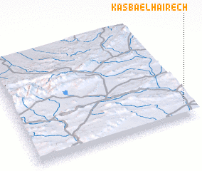 Places with similar names to Kasba el Haïrech, Morocco :: Disclaimer :: Information on this page comes without warranty of any kind |
||
|
Where is Kasba el Haïrech? Elevation and coordinates ::
Latitude (lat): 32°8'0"N Longitude (lon): 3°2'0"W
Elevation (approx.): 924m (map arrows pan, magnifying glasses zoom) |
||
|
Visiting Kasba el Haïrech? Hotel/Accommodation ::
Book a hotel in Kasba el Haïrech Travel Guide ::
Buy a travel guide for Morocco rental cars ::
car rental offers GPS waypoint ::
download a GPX waypoint (PoI) of Kasba el Haïrech for your GPS receiver
|
||