|
search place name
|
||
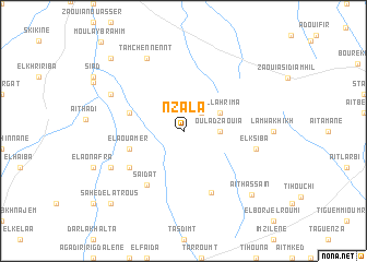
Nzala (Marrakech, Morocco)Nzala is a town in the Marrakech region of Morocco. An overview map of the region around Nzala is displayed below.
regional and 3d topo map of Nzala, Morocco ::
Nzala airports ::
The nearest airport is RAK - Marrakech Menara, located 66.3 km east of Nzala.
Other airports nearby include AGA - Agadir Inezgane (138.4 km south west), OZZ - Ouarzazate (176.2 km east), CMN - Casablanca Mohammed V Intl (242.9 km north east), Nearby towns ::
Aroufia (2.4km north east) //
Oulad Zaouia (3.2km east) //
Ahl Lahrima (3.7km north east) //
El Aouamer (5.1km west) //
Oulad Bou Annga (5.1km west) //
Oulad ez Zir (6.0km south west) //
Saïdat (6.4km south west) //
Agadir aj Jdid (6.7km south) //
El Ksiba (6.6km east) //
Douar Ben Enfir (7.3km south west) //
Tamchennennt (8.1km north west) //
Cherkaoua (7.3km north west) //
Aït Hassaïn (8.9km south east) //
Sahed el Atrous (9.7km south west) //
Arib (9.7km north west) //
[all distances 'as the bird flies' and approximate] 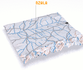 Places with similar names to Nzala, Morocco ::
Disclaimer :: Information on this page comes without warranty of any kind |
||
|
Where is Nzala? Elevation and coordinates ::
Latitude (lat): 31°23'0"N Longitude (lon): 8°41'0"W
Elevation (approx.): 529m (map arrows pan, magnifying glasses zoom) |
||
|
Visiting Nzala? Hotel/Accommodation ::
Book a hotel in Nzala Travel Guide ::
Buy a travel guide for Morocco rental cars ::
car rental offers GPS waypoint ::
download a GPX waypoint (PoI) of Nzala for your GPS receiver
|
||