|
search place name
|
||
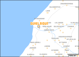
Oum el Aïoun (Essaouira, Morocco)Oum el Aïoun is a town in the Essaouira region of Morocco. An overview map of the region around Oum el Aïoun is displayed below.
regional and 3d topo map of Oum el Aïoun, Morocco ::
Oum el Aïoun airports ::
The nearest airport is AGA - Agadir Inezgane, located 142.8 km south of Oum el Aïoun.
Other airports nearby include RAK - Marrakech Menara (153.2 km east), Nearby towns ::
Aït Raïs Aomar (3.7km north) //
Aïn el Hajar (3.2km east) //
Ben Saïoud (3.7km north east) //
Zaouia Cherif (4.3km south east) //
Lagoumaïhat (6.4km south east) //
Abd el Harbili (7.6km south) //
Beni Balla (8.1km north east) //
Lisra (8.1km north east) //
Agadir Chicht (8.4km south) //
Tigmijjou (8.4km south east) //
[all distances 'as the bird flies' and approximate] 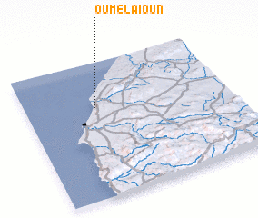 Places with similar names to Oum el Aïoun, Morocco ::
Disclaimer :: Information on this page comes without warranty of any kind |
||
|
Where is Oum el Aïoun? Elevation and coordinates ::
Latitude (lat): 31°40'0"N Longitude (lon): 9°39'0"W
Elevation (approx.): 26m (map arrows pan, magnifying glasses zoom) |
||
|
Visiting Oum el Aïoun? Hotel/Accommodation ::
Book a hotel in Oum el Aïoun Travel Guide ::
Buy a travel guide for Morocco rental cars ::
car rental offers GPS waypoint ::
download a GPX waypoint (PoI) of Oum el Aïoun for your GPS receiver
|
||