|
search place name
|
||
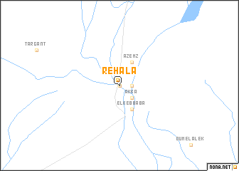
Rehala (Tata, Morocco)Rehala is a town in the Tata region of Morocco. An overview map of the region around Rehala is displayed below.
regional and 3d topo map of Rehala, Morocco ::
Rehala airports ::
The nearest airport is AGA - Agadir Inezgane, located 162.2 km north west of Rehala.
Other airports nearby include TIN - Tindouf (192.3 km south), OZZ - Ouarzazate (212.0 km north east), Nearby towns ::
Aït Rehal (0.0km north) //
Agadir Ouzrou (1.6km east) //
Tagadirt (1.6km east) //
Aït Anter (1.6km east) //
Akka (2.5km south east) //
El Kebbaba (4.0km south east) //
Azemz (4.0km north east) //
[all distances 'as the bird flies' and approximate] 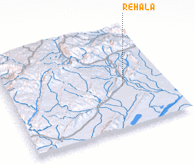 Places with similar names to Rehala, Morocco ::
Disclaimer :: Information on this page comes without warranty of any kind |
||
|
Where is Rehala? Elevation and coordinates ::
Latitude (lat): 29°26'0"N Longitude (lon): 8°16'0"W
Elevation (approx.): 552m (map arrows pan, magnifying glasses zoom) |
||
|
Visiting Rehala? Hotel/Accommodation ::
Book a hotel in Rehala Travel Guide ::
Buy a travel guide for Morocco rental cars ::
car rental offers GPS waypoint ::
download a GPX waypoint (PoI) of Rehala for your GPS receiver
|
||